MountainBikeTx.com
White Mesa Bike Trails
San Ysidro, NM
Click here for help on how to read this trail guide
Location:
Length:
Technical Level:
Trail Type:
Configuration:
Trail Map(s):
Fee:
Trails:
Amenities:
Links:
Contact:
Comments:
Photos:
Video:
Trail Review:
8 miles
(not incl. Dragon's Spine)
3+
singletrack
loop
BLM brochure | Map (front) | Map (back) | GPS/Google (.kml)
none
Dragon's Back | Dragon's Spine
none
Bureau of Land Management | Rio Puerco Field Office
(505) 761-8700


Just like Sandia Peak
Ski Area, if you are near Albuquerque you will want to hit the White
Mesa Bike Trails. The difference is that even if you aren’t even remotely
close to Albuquerque, you still want to ride this. On the other hand,
if you are an overly cautious rider or lack confidence in your abilities,
you might want to stick with the Sandia Foothills.
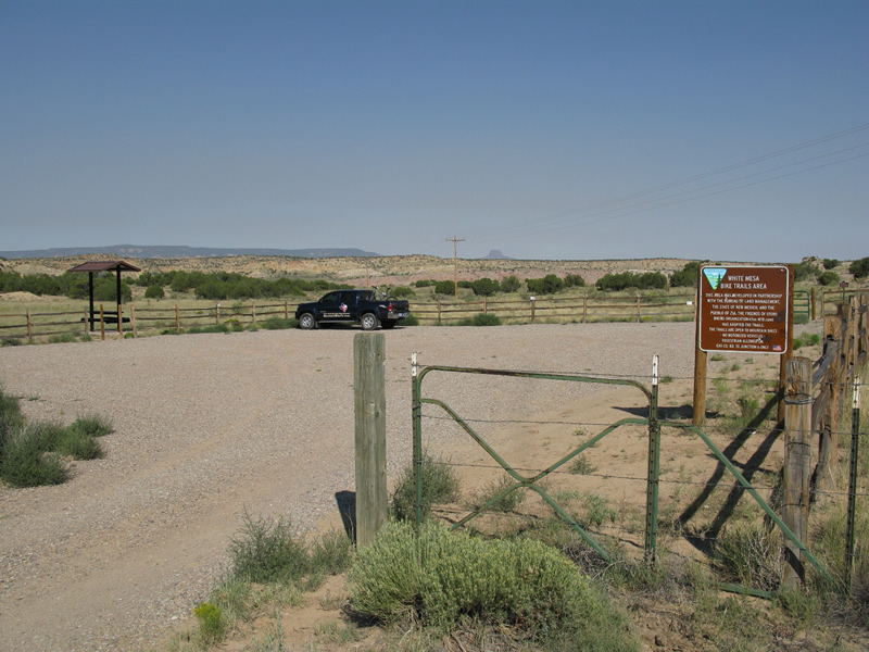
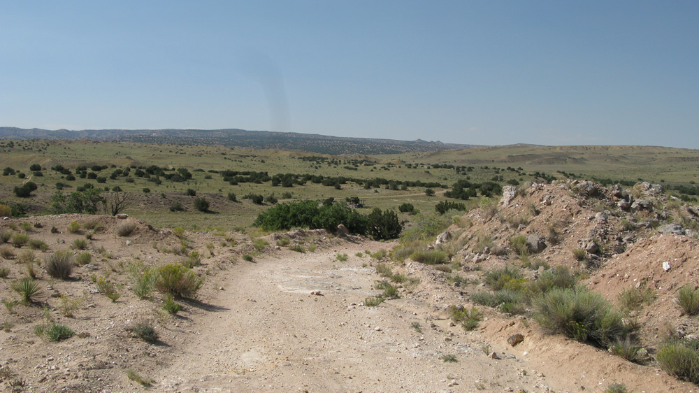
When you turn off of US 550 take the left at the fork and just follow it
until you eventually reach the parking area. I wouldn’t recommend bringing
a car, unless it’s a rental, as the road can get a little rough at times.
Actually, the road isn’t that bad, just drive with some sense. At the
trailhead (parking area) there is a kiosk with the trail map and a box
that has brochures with the trail map (provided you didn’t pick one
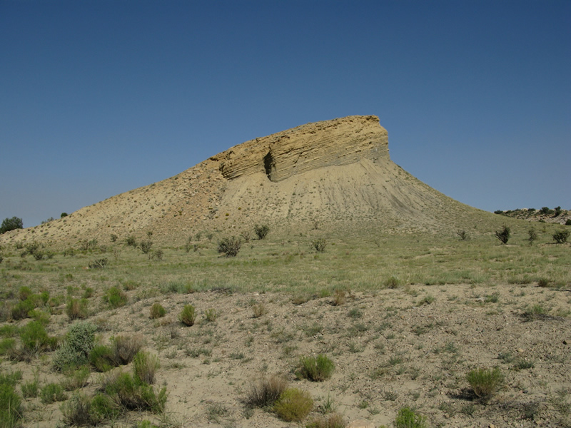
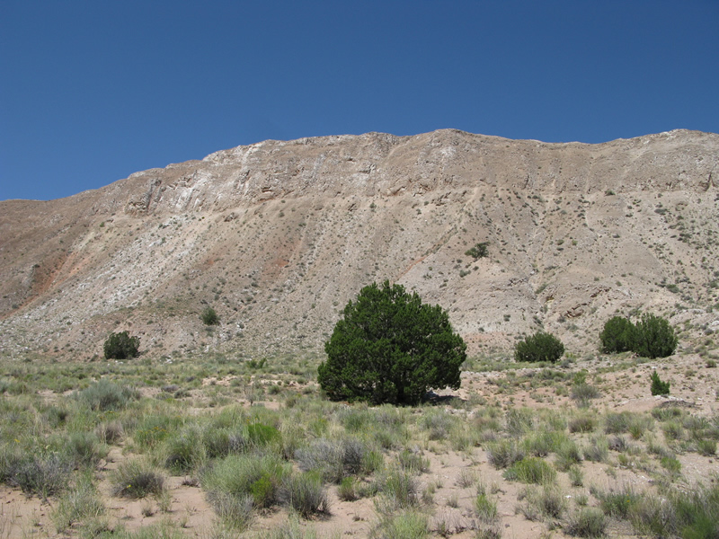
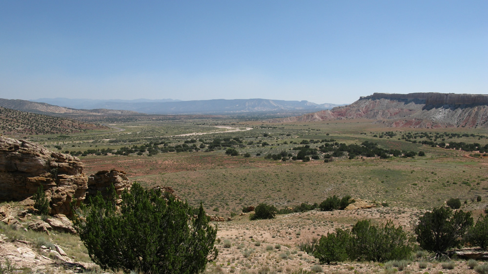
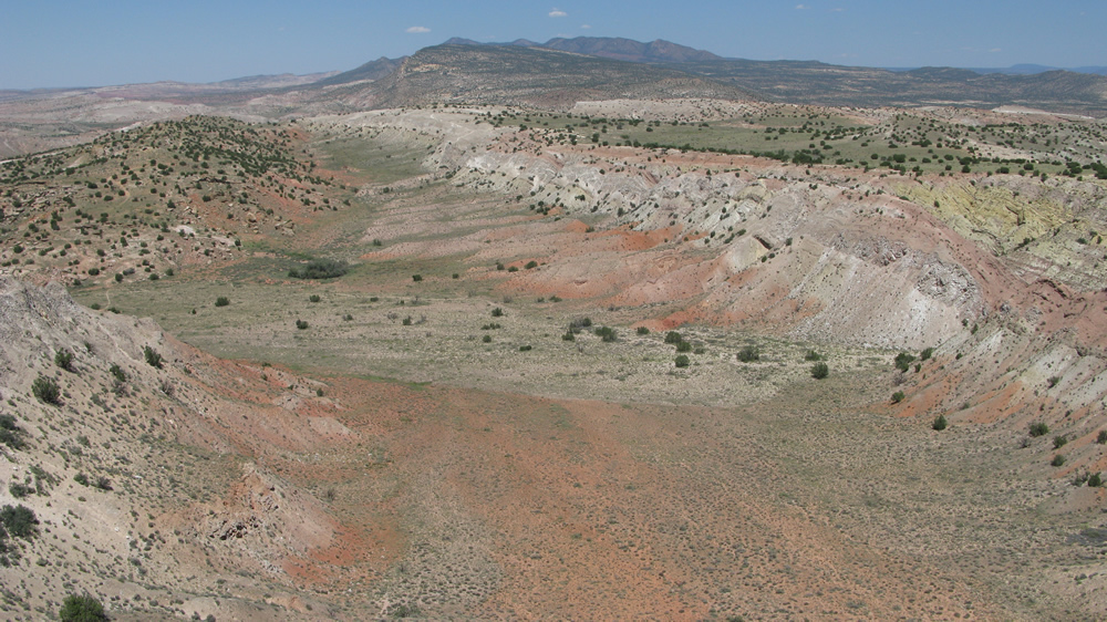
up at a local shop). The brochure states, "The bike trail crosses a
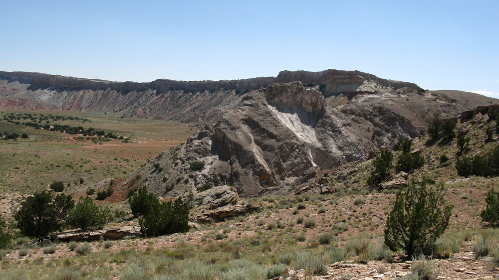
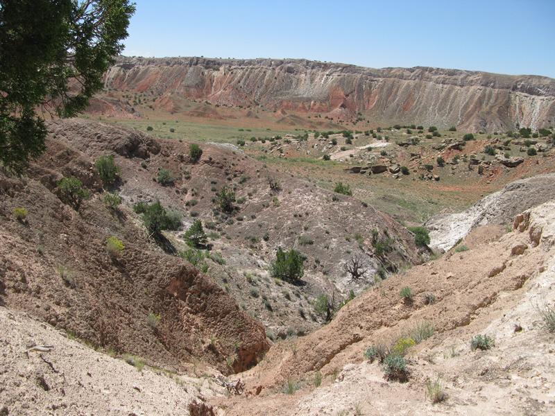
landscape of spectacular beauty and exceptional geology…" Oh, it does
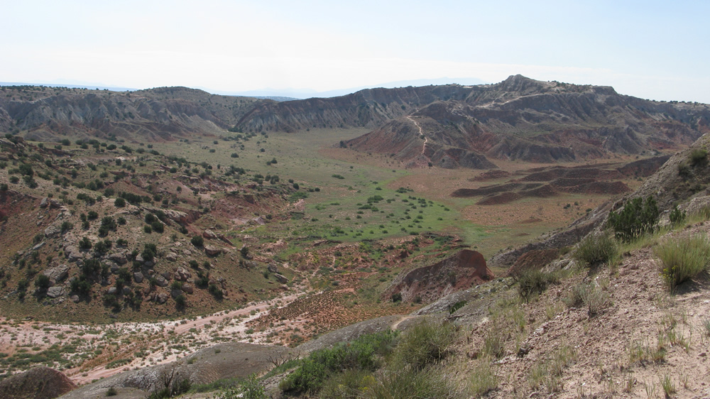
indeed; beauty not unlike that of Texas’ Palo Duro Canyon.
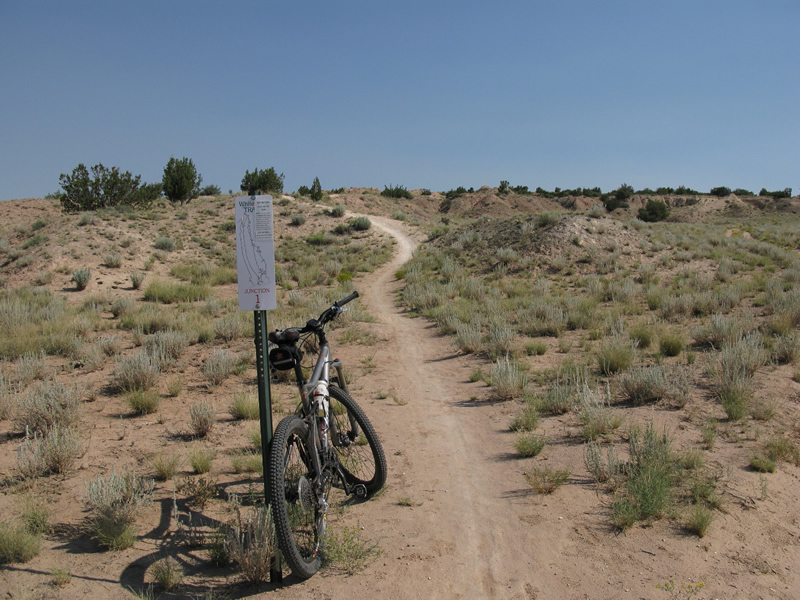
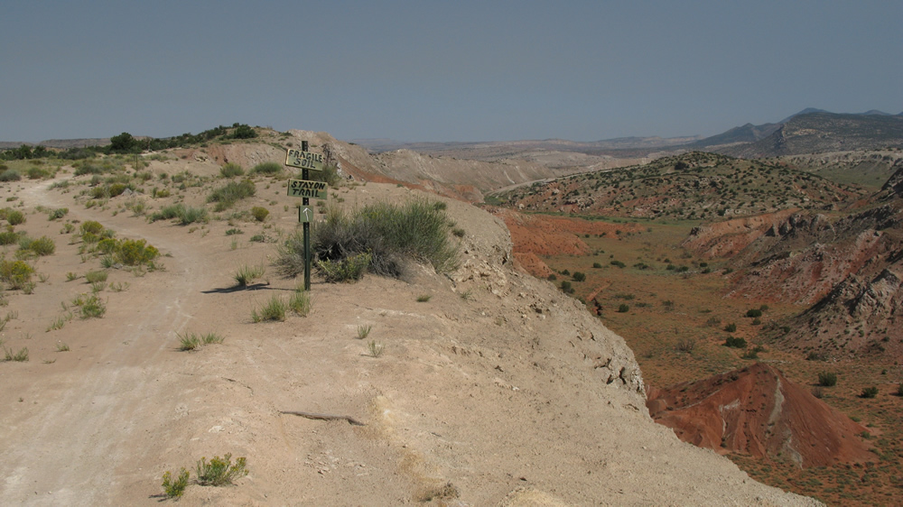
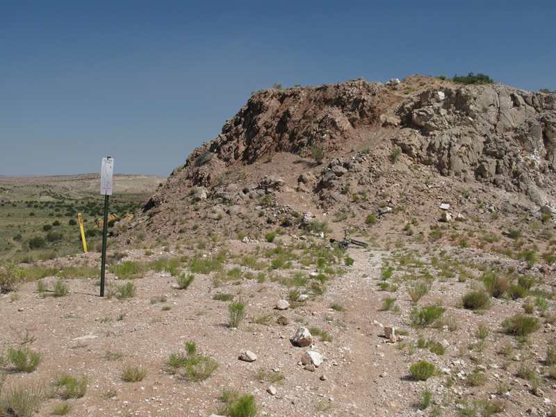
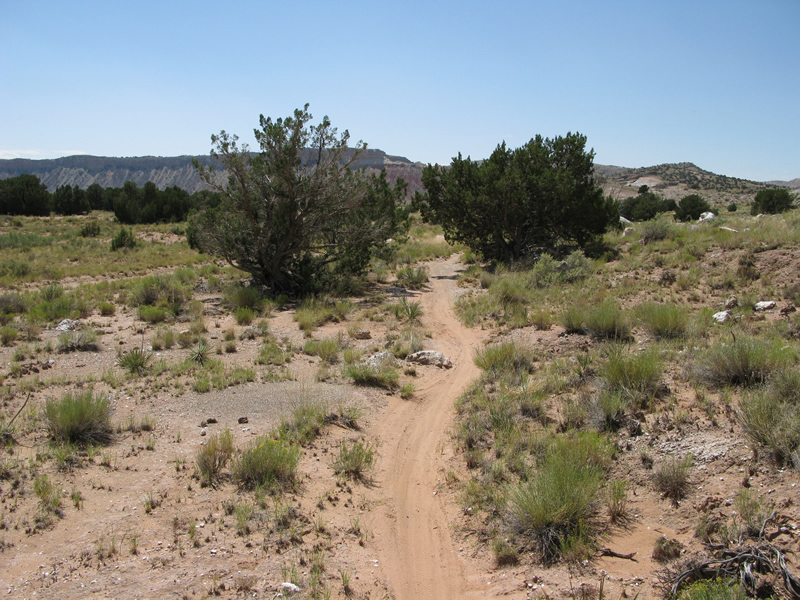
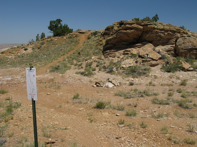
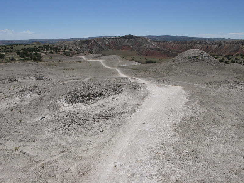
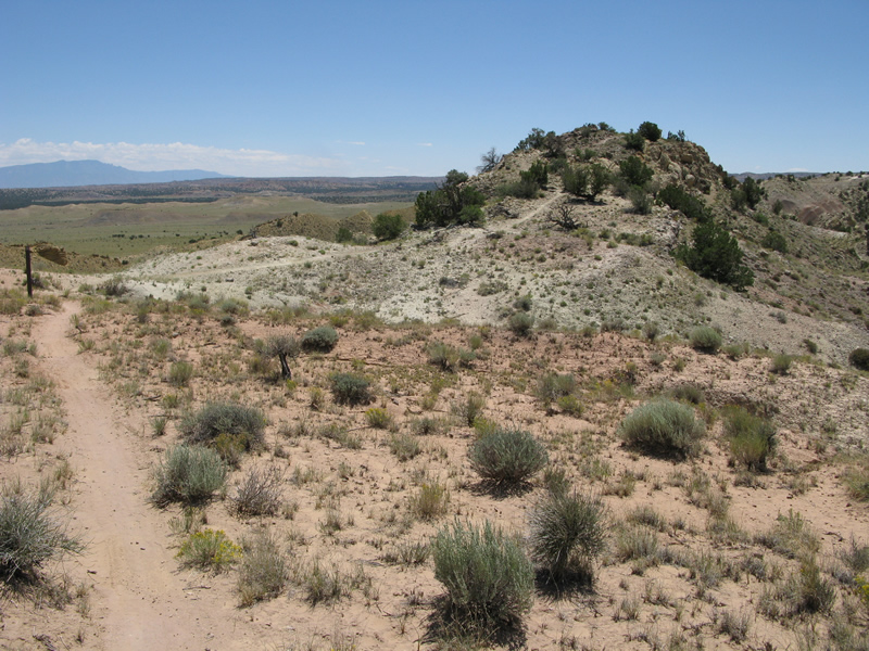
The trail is marked intermittently with "Junction" signs, as you will notice
early on, and they match up near perfectly on the map. Between these
signs and the elevation contours on the map, you shouldn’t have any
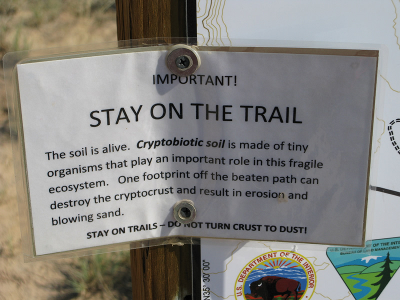
problem whatsoever knowing just where you are at any given point. Also
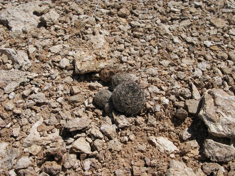
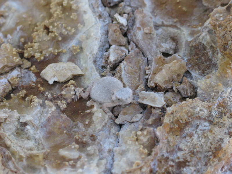
of importance are the "Stay on the Trail" signs. Sure, many trails say
that, but there’s good reason here: the soil is alive. (see photo of
sign)
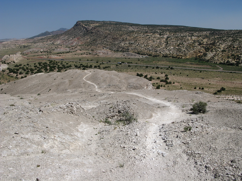
After the initial "climb" you will come to Junction 3 and turn left (the
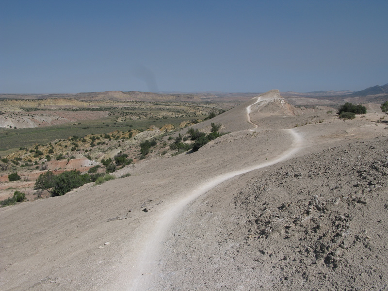
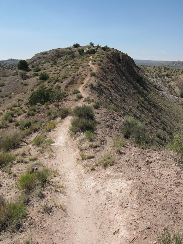
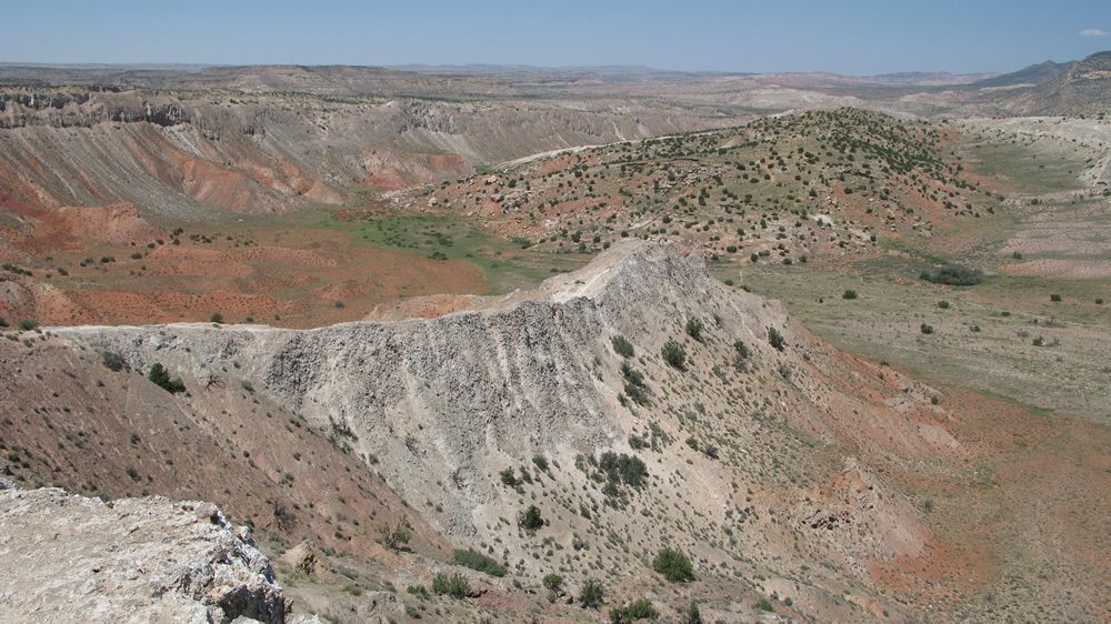
trail is ridden clockwise only) – welcome to the Dragon’s Back. The
Dragon’s Back is a ridiculously scenic ride that places you within as
little as a few inches from certain death at times, or at least a whole
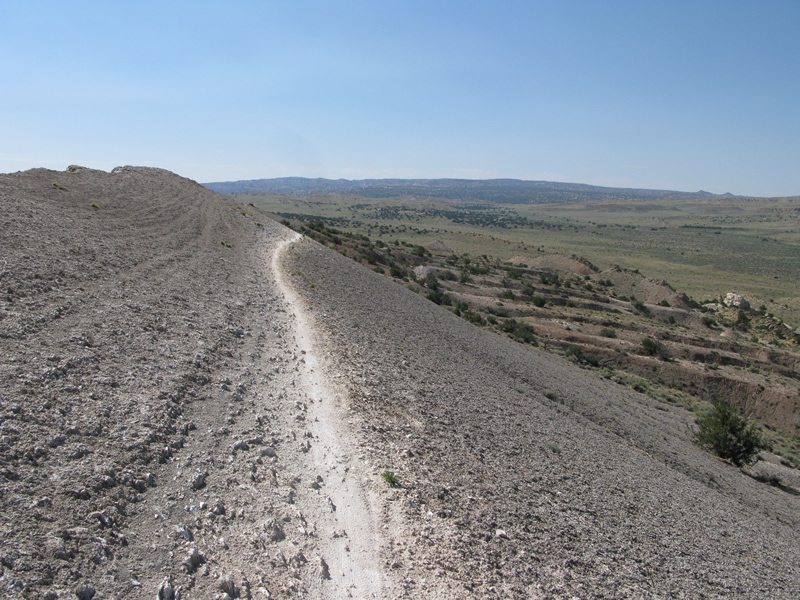
bunch of physical injuries. The trail flows really well, winding along
the ridge, and one lengthy section presents you with a bit of off-camber
singletrack that will definitely have your eyes on the trail; failure
to do so could be very bad. Placing you literally on the edge isn’t
the only thrill to White Mesa. You will also find yourself climbing
some gradual and some not quite so gradual ascents, but rest assured
you will be greatly rewarded more than once when it comes time to shed
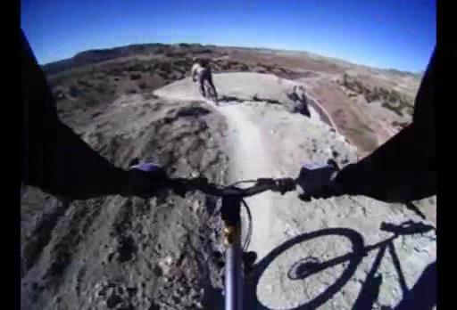
some elevation. There are also a couple sections with small drops and
such to keep you entertained. When you reach Junction 4 it will be time
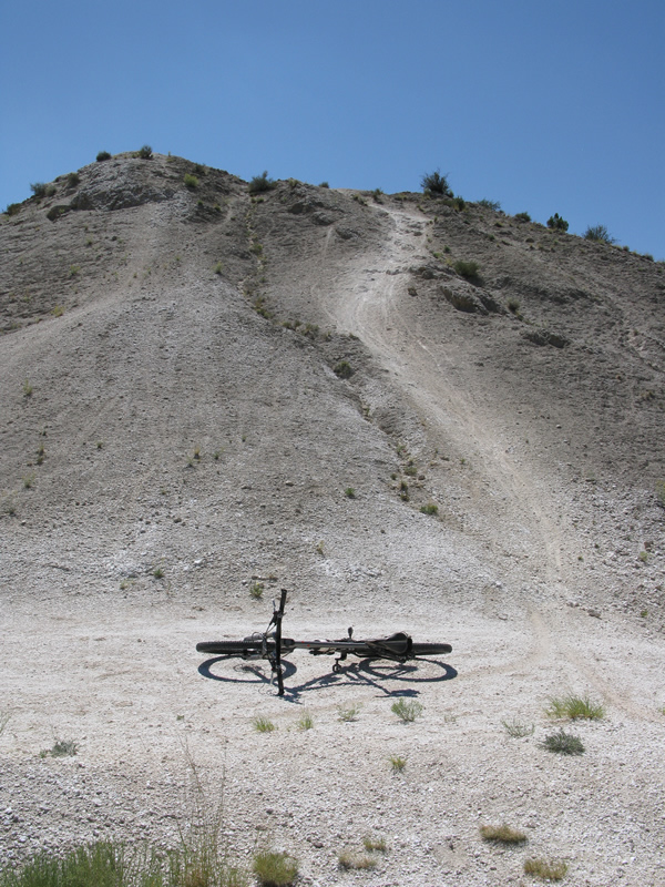
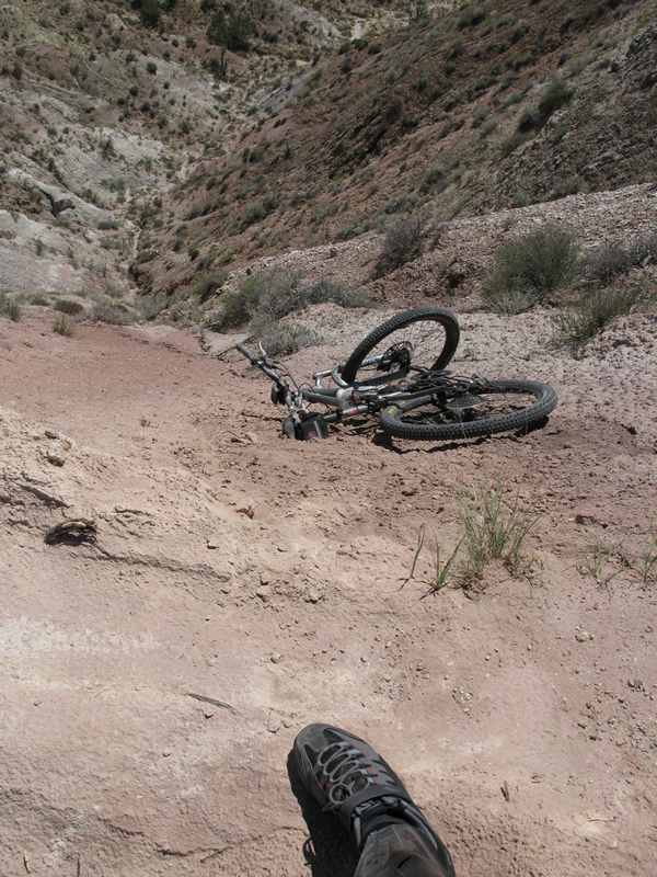
to dismount. This spot, known as "Hike-a-Bike" forces you to just that.
Trust me. You’ll then ascend a bit and approach a descent (leading to
Junction 6) that will force you slide back further than you probably
have before. I’m pretty sure I felt my rear tire rub, well, my rear.
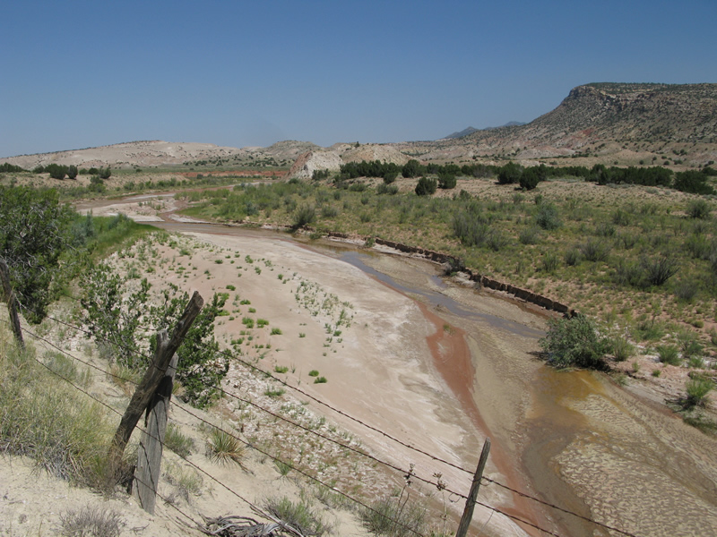
As you ride the doubletrack along Rio Salado, you will quickly jump back
onto singletrack that can be a little loose at times. No worries, you’ll
soon be going back up. Be sure to take note of the ridge up to your
right because that’s where you just were. Not that at Junction 9 the
map shows the singletrack going to the left and the doubletrack to the
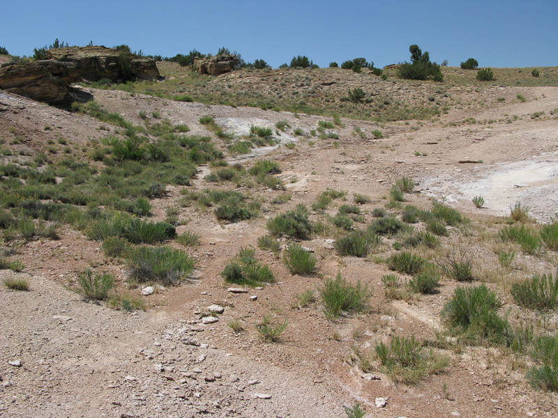
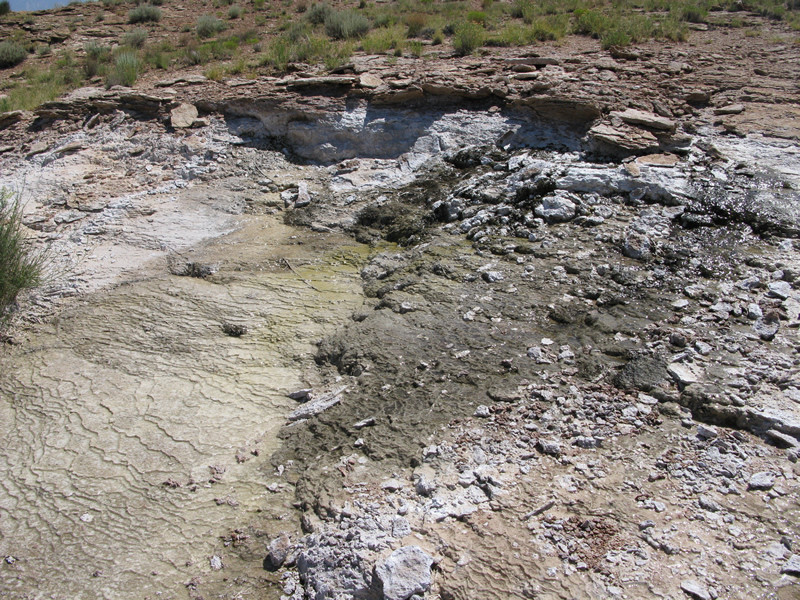
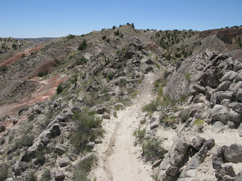
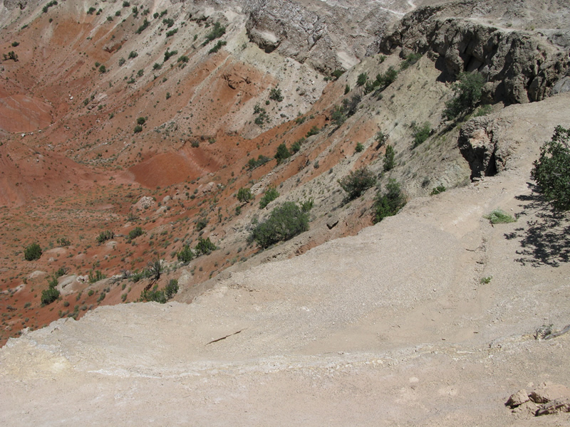
right – it’s backwards. Shortly after you’ll reach a sheer rock section
that would be difficult to follow if it weren’t for the little arrow
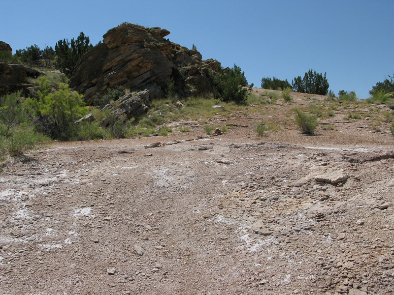
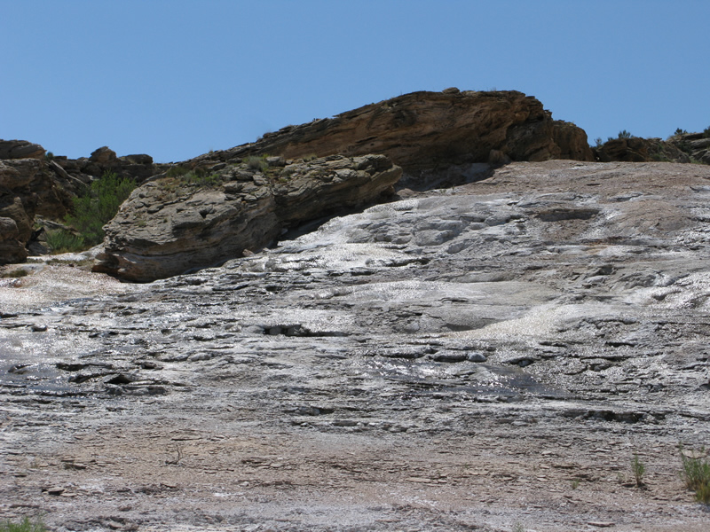
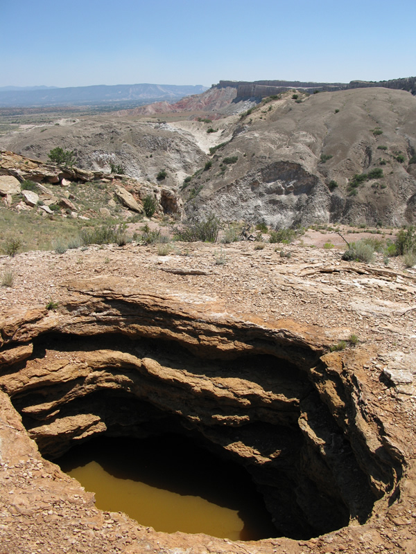
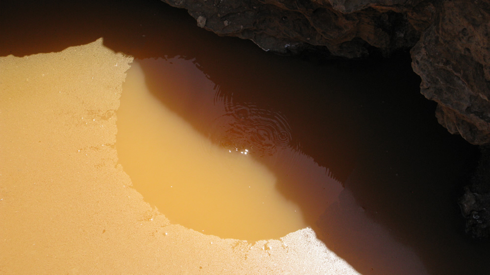
signs guiding your way. This is also the first area you’ll witness the
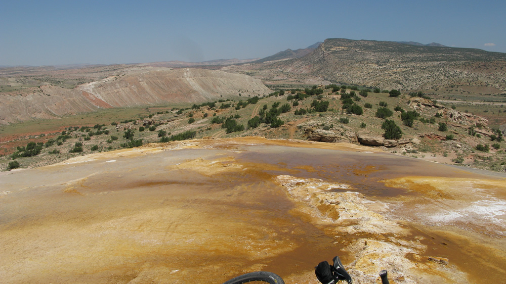
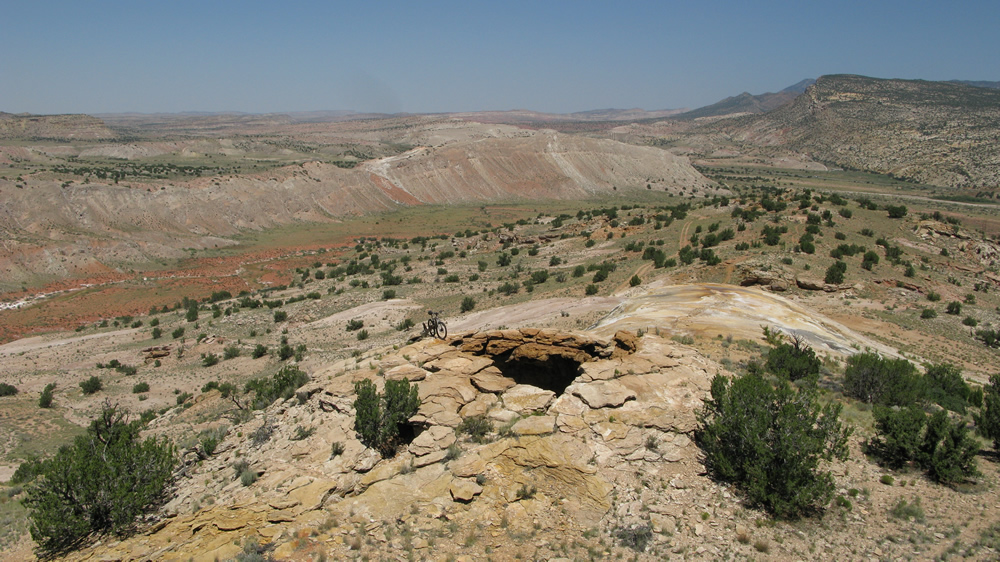
water leeching up through the rock. It’s crazy! Right past Junction
10 is another large area of leeching water and a great place to take
a break and take in the view. Before you reach Junction 11 you can climb
up and see where the rock has since collapsed. (see photos)
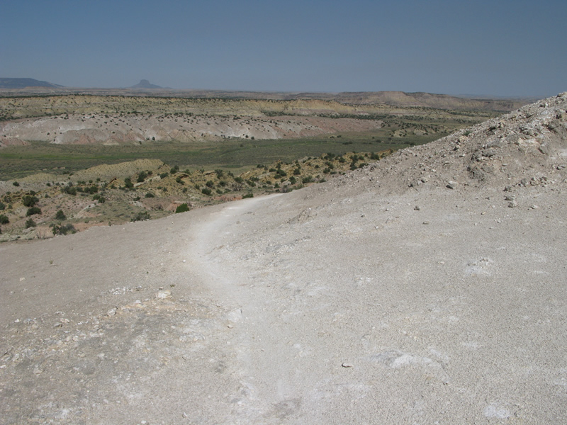
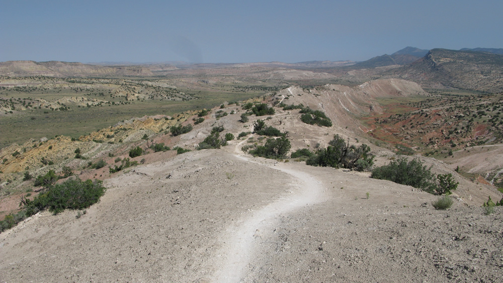
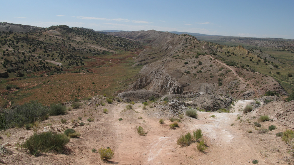
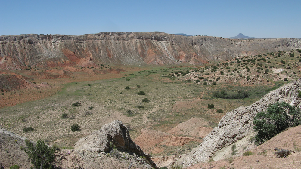
As you pass up Junction 12 the trail opens up for some easy speed and a few
opportunities to catch a little air, then get ready to do a little climbing
along some of White Mesa’s rockier sections that place you back on the
edge. Continue to enjoy the views and you should have already noticed
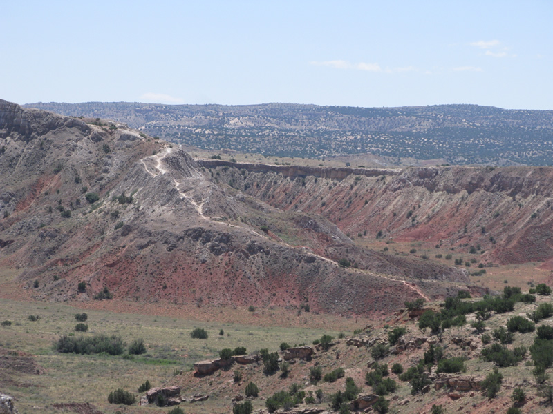
the length of trail running down between the two ridges – this is known
as The Dragon’s Spine, spans between Junctions 12 and 21, and is good
for a few extra miles of fun. The stretch that spans between Junctions
16 and 19, however, is not official trail and until it becomes such,
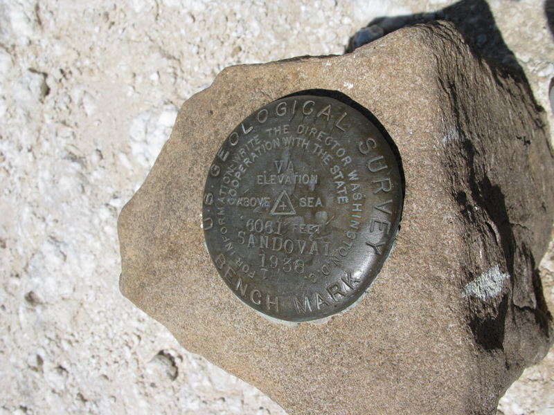
should be avoided. Eventually you will find yourself around Junctions
19 and 21. Before hitting the fast descent back to the trailhead, make
sure you hike up the hill to what is White Mesa’s highest point at 6061
feet above sea level. Talk about a panoramic view! Just don’t look down.
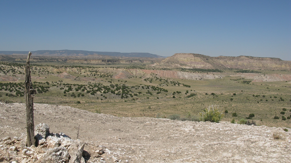
Oh, and did I mention the views? At nearly any given point you can seemingly
see forever to your left and right and look back or ahead and see the
trail snake for what seems like forever, particularly along the Dragon’s
Back. The views and sense of risk are really what make White Mesa a
must ride!
~ MountainBikeTx.com(Aug 2009)