MountainBikeTx.com
Sandia Foothills
Albuquerque, NM
Click here for help on how to read this trail guide
Location:
Length:
Technical Level:
Trail Type:
Configuration:
Trail Map(s):
Fee:
Trails:
Amenities:
Links:
Contact:
Comments:
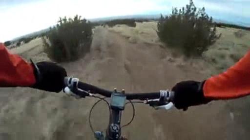
Photos:
Video:
Trail Review:
10+ miles
1-3
singletrack
network
GPS/Google (.kml) | see Links
none
Trails 341, 342 230, 230A, 366, 365, and 365A
none
Sandia Foothills overview | City of Albuquerque website
(505) 452-5200
Click here to send an email
• May be confused with the Elena
Gallegos Picnic Area, which share common trails.
• "Sandia" is Spanish for "watermelon."
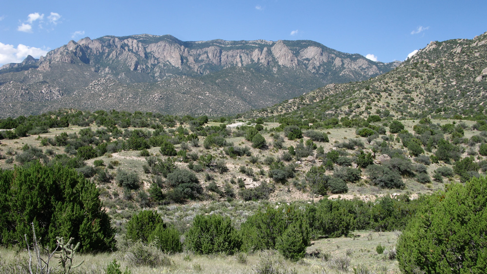
The Sandia Foothills may
not be the most thrilling ride in the area, but they are definitely
worth checking out, especially if you aren’t used to the elevation and
dry air of Albuquerque. Although there are several trailheads to choose
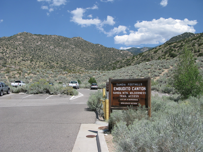
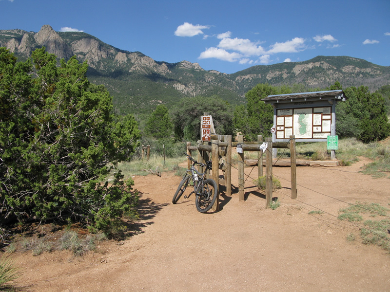
from, it is recommended to start out at the Embudito Canyon trailhead
at the end of none other than Trailhead Ave.
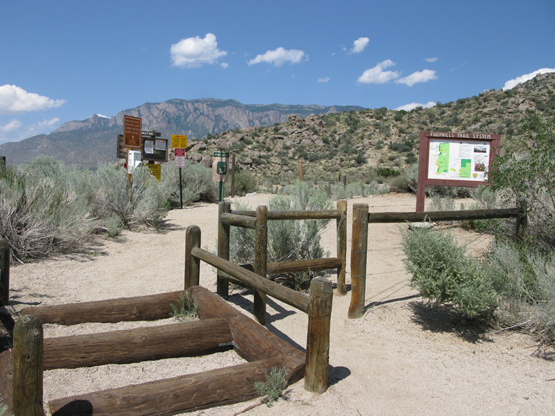
The trails that make up the Sandia Foothills are numbered as opposed to named.
I’m not sure why that is, but numbers are better than no form of identification.
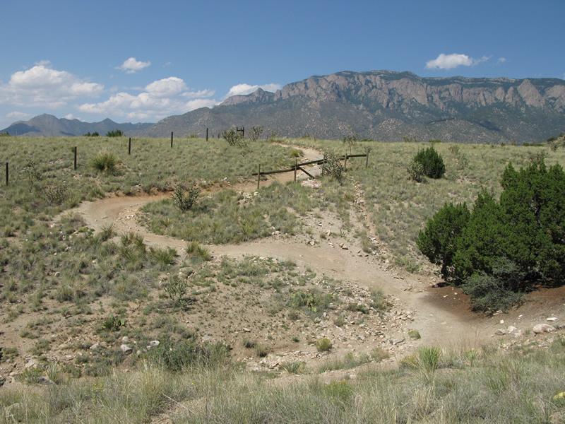
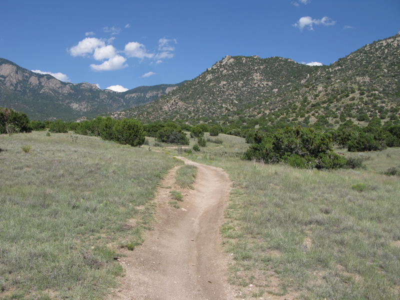
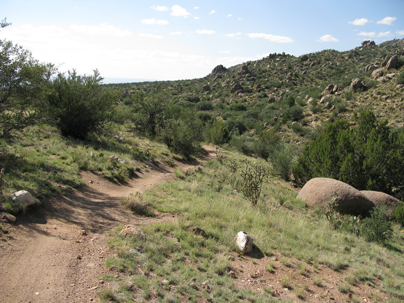
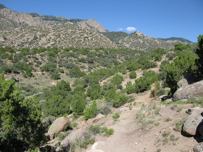
From the trailhead you will start out on Trail 365 and follow its mild
elevation changes for about 1.1 miles. Actually, you will continue to
follow 365, but at 1.1 miles you will reach an intersection – just go
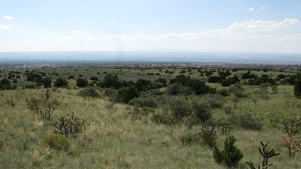
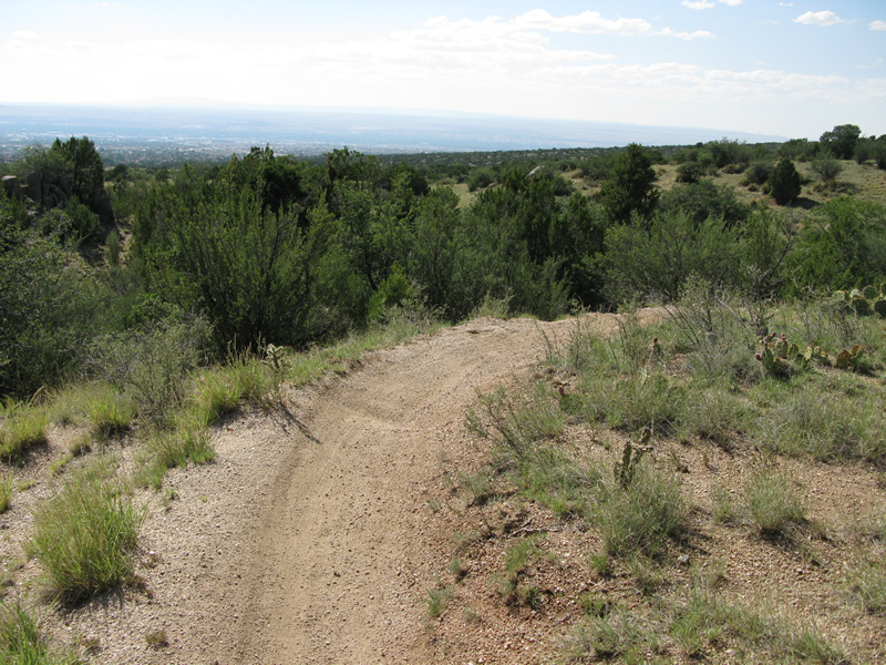
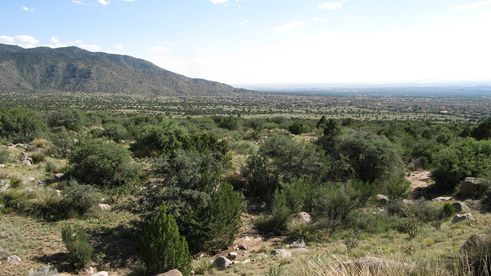
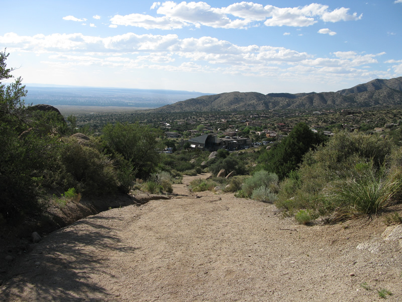
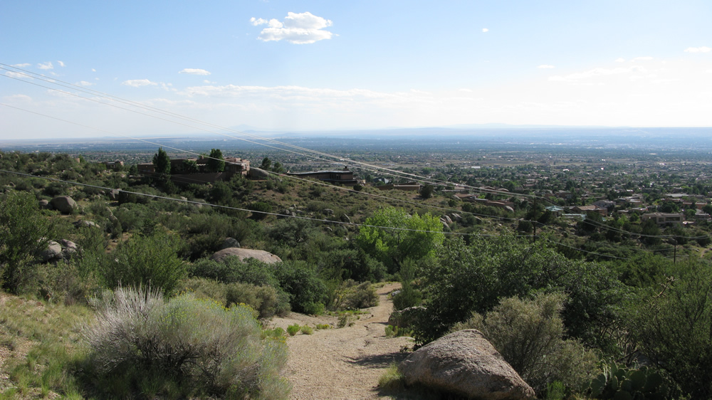
straight. You will follow this along as you continue east towards the
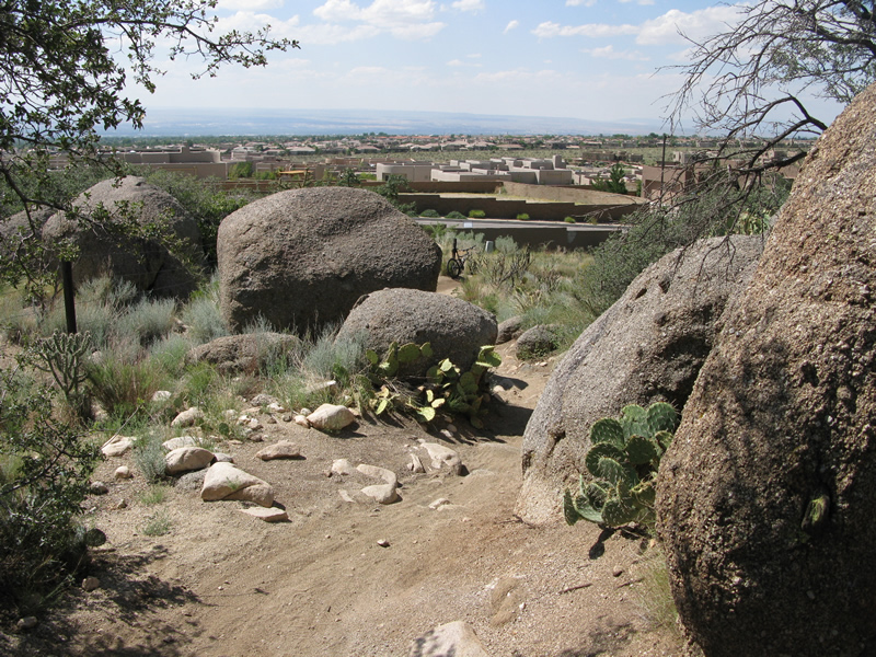
mountains, stopping periodically to look back out over the outer reaches
of Albuquerque.
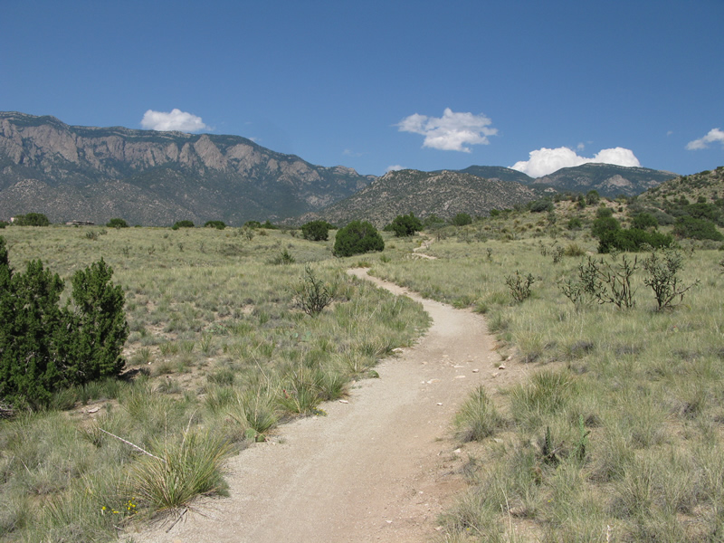
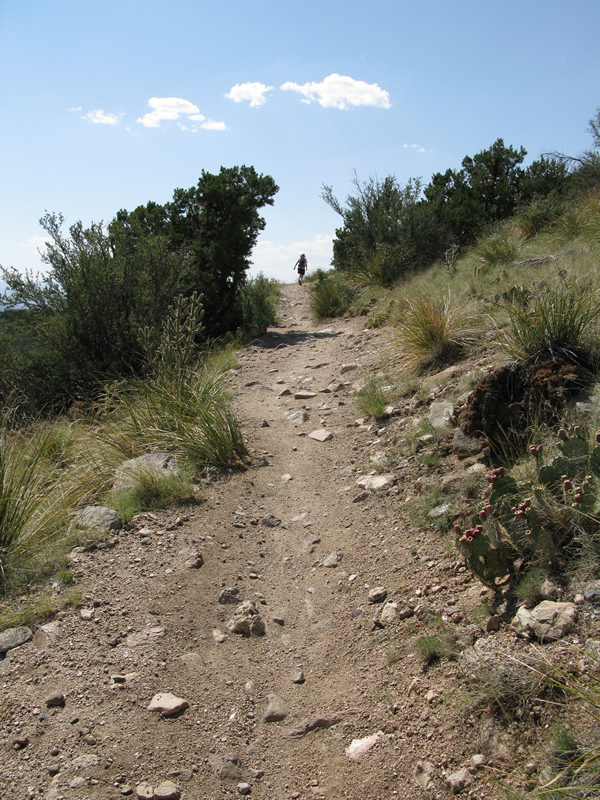
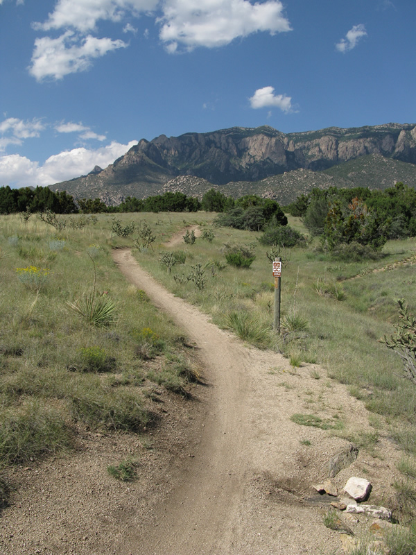
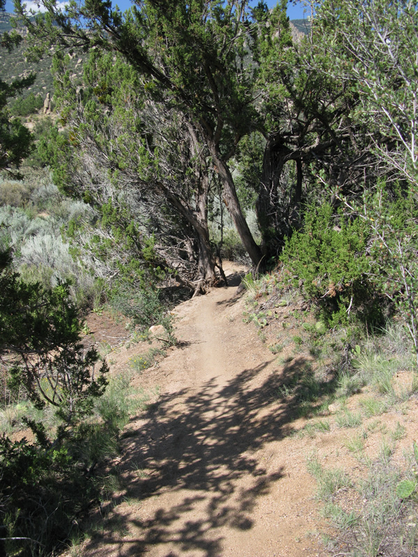
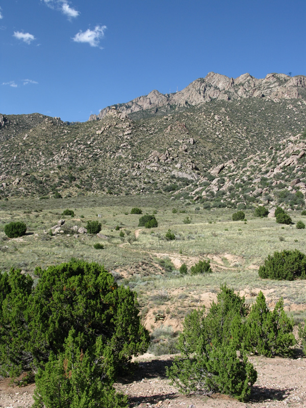
The elevation changes throughout the foothills generally aren’t too dramatic,
at least not the climbs (most of them, anyhow); however, you will encounter
some rocky ascents, along with loose, sandy sections along the arroyos.
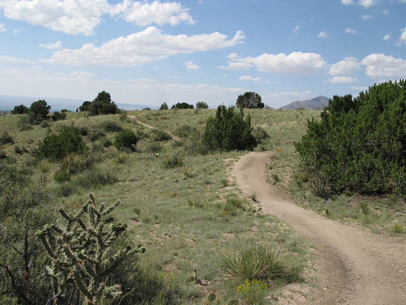
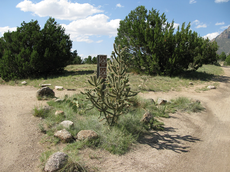
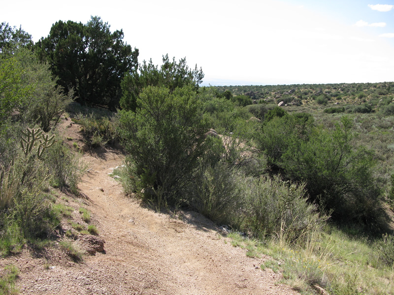
Eventually you will come to another intersection that gives you a choice
between taking Trail 342 or 305A. I think I was told to take 305A, but
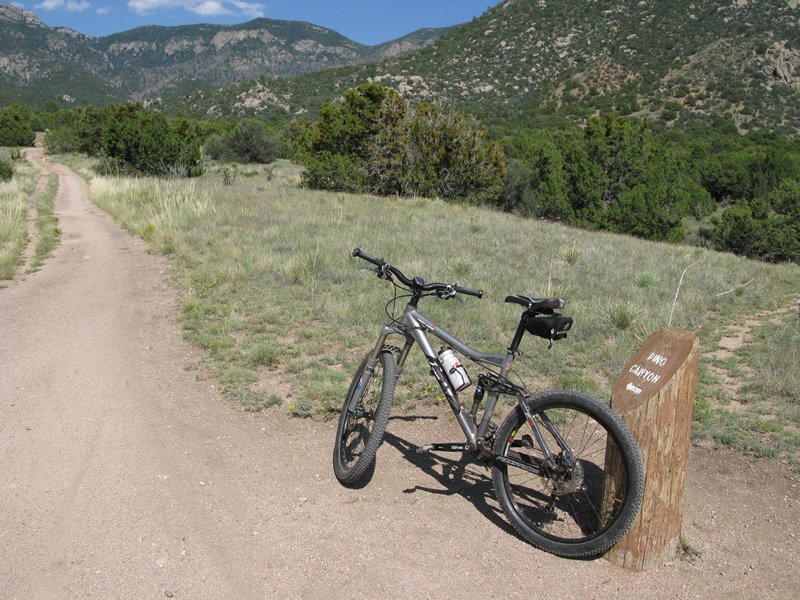
must have forgotten because I took 342. You will also see a stump with
Pino Canyon painted on it and an arrow. That’s the way you want to go.
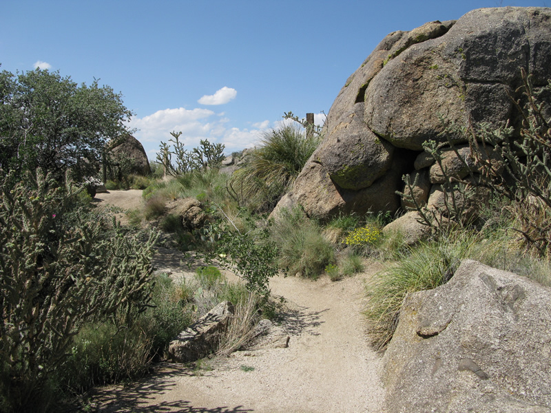
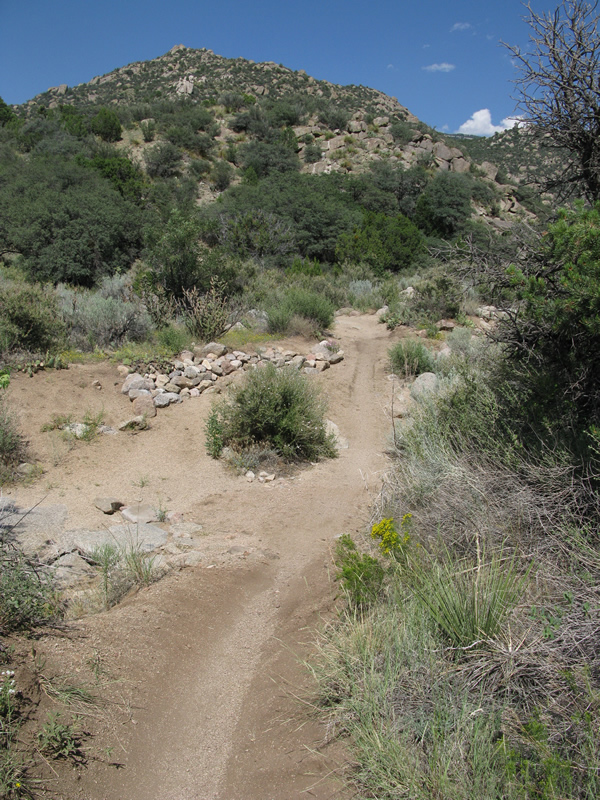
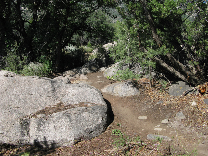
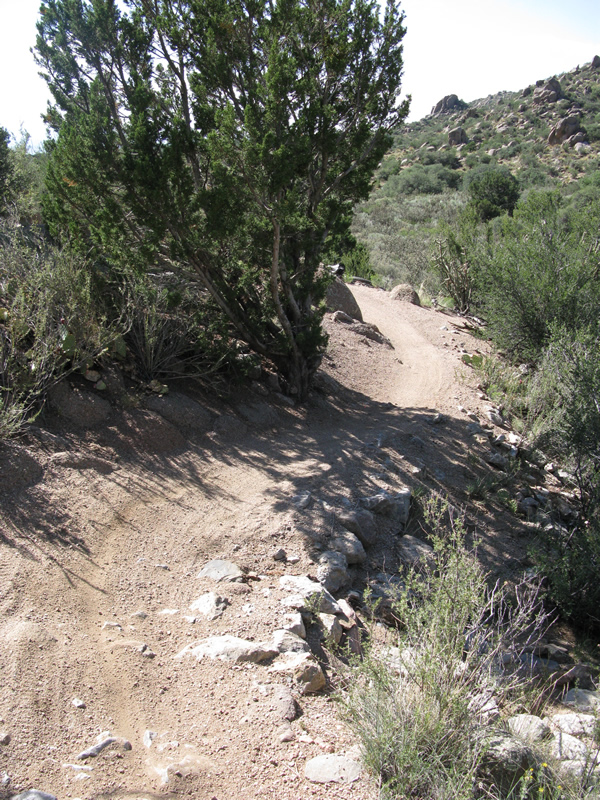
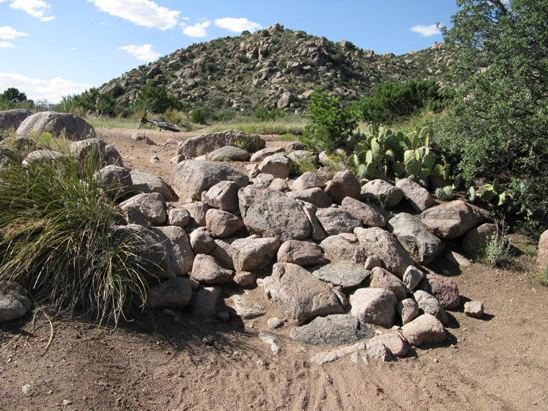
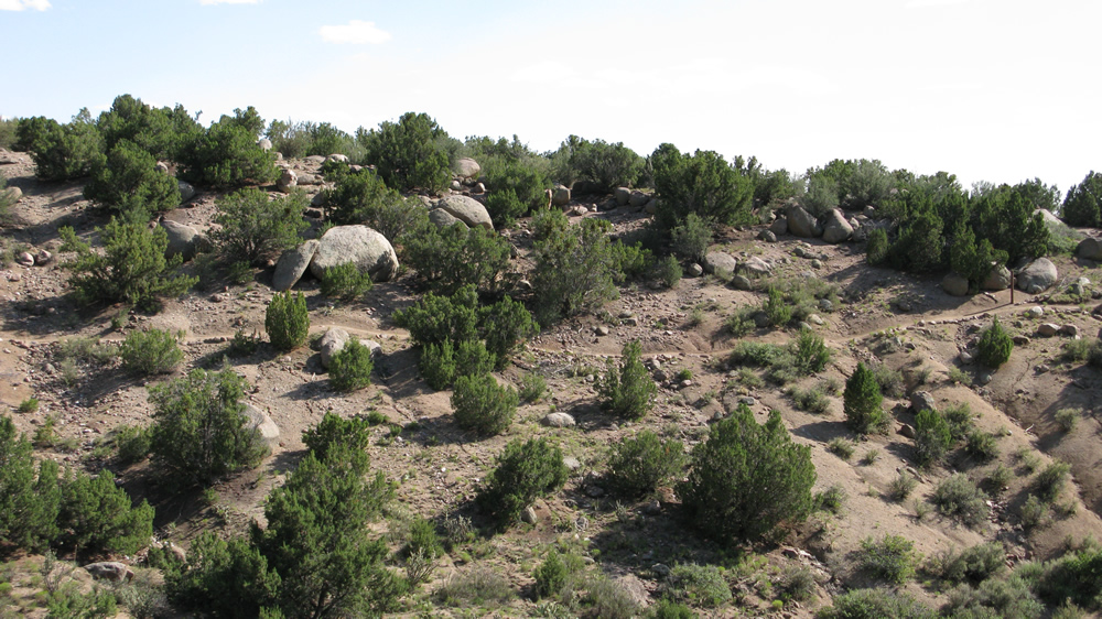
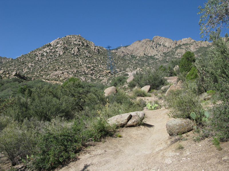
After continuing up the gradual elevation increase that follows, you
will reach a spot that allows hikers to enter the Sandia National Forest
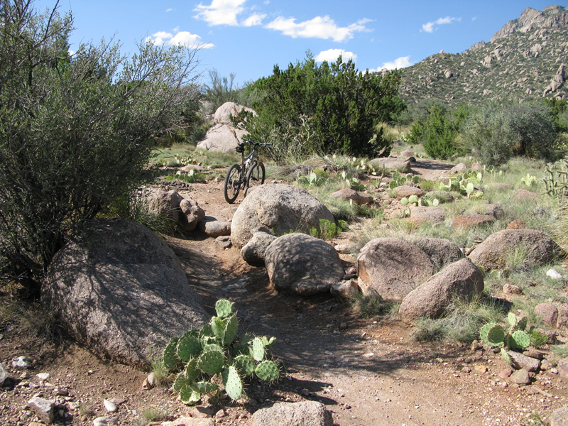
(see photo) – now the fun begins. Immediately following is a short,
tight section laced with large rocks (boulders?) and followed by a curve
that will teach you to mind your speed. A run or two down through some
low ground and you will find yourself zipping down a stretch of winding
trail that will test just how good your tires can grip in the turns.
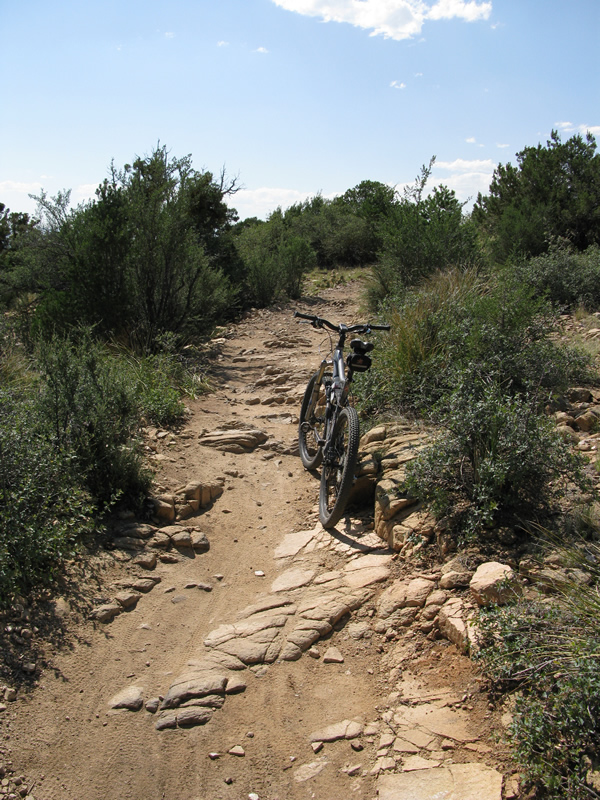
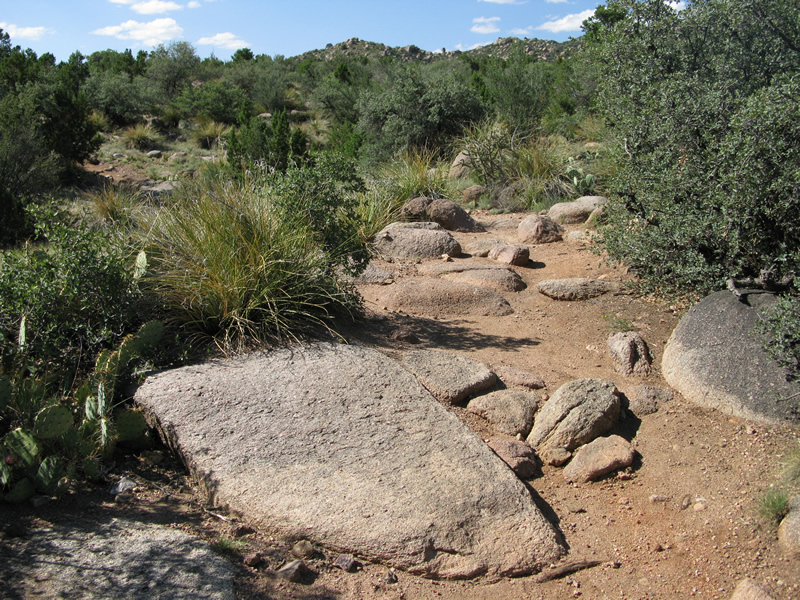
A little climbing, a few rock gardens and a bunch of big rocks later, you
will be pleased to begin a long, fast descent down a weaving stretch
that is laced with plenty of rocks big enough to make for a bad day.
At the end of this it will suddenly turn left. You have a choice: 1)
Do as I mistakenly did and turn right and continue on Trail 365, or
2) jump on Trail 230 and start heading in the direction of your vehicle.
If you chose option 1, you won’t be overly disappointed; however, this intersection
will serve as the starting point to an out and back ride and will involve
some climbing (but also offers some serious descending). The trail runs
through more rock gardens, a few gradual descents, a few gradual climbs,
and one considerable climb as you approach one of the tram’s support
towers and a big storage tank. Here you will be faced with another choice:
Bomb down towards the Tram station trailhead (knowing you will have
to granny gear it or hike it back up) or turn around and head back.
As you descend, you have another choice, go straight or turn at the
large rock on the left and hit some more rapid loss of elevation. Again,
hike-a-bike or granny gear time on the way back.
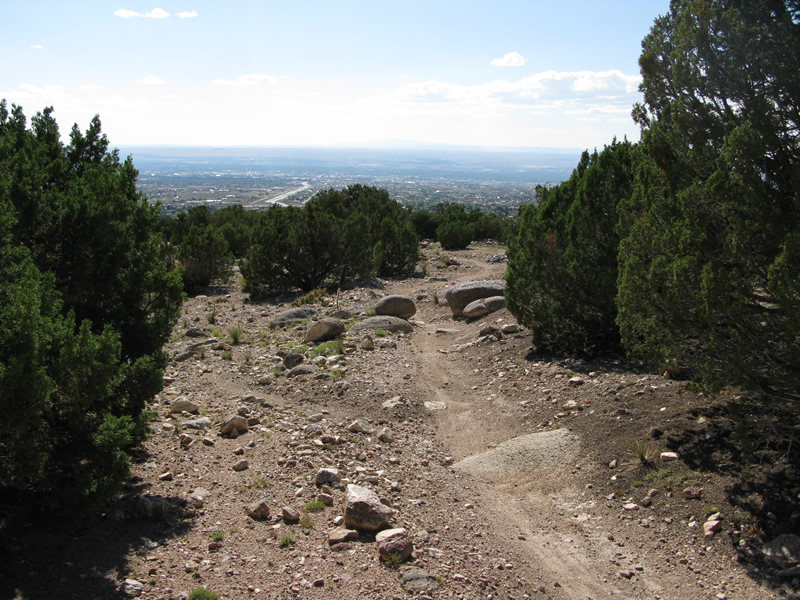
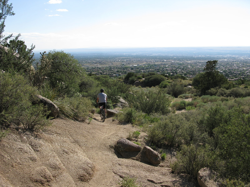
Whichever way you choose to go, you will eventually find yourself making
the turn onto Trail 230 and enjoying every mile of the ride back. The
terrain is pretty much what you have already experienced, so continue
to enjoy the occasional rock garden, slight ascents, quick descents,
and of course, the views both of Albuquerque to the west and the Sandias
to the east.
~ MountainBikeTx.com(Aug 2009)