MountainBikeTx.com
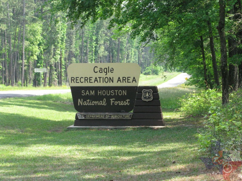
Sam Houston National Forest
(Cagle & Kelly's Pond Recreation Areas)
New Waverly, TX
Click here for help on how to read this trail guide
Directions:
Length:
Technical Level:
Trail Type:
Configuration:
Trail Map(s):
Fee:
Trails:
Amenities:
Links:
Contact:
Comments:
Photos:
Video:
Trail Review:
Cagle:
MapIt!
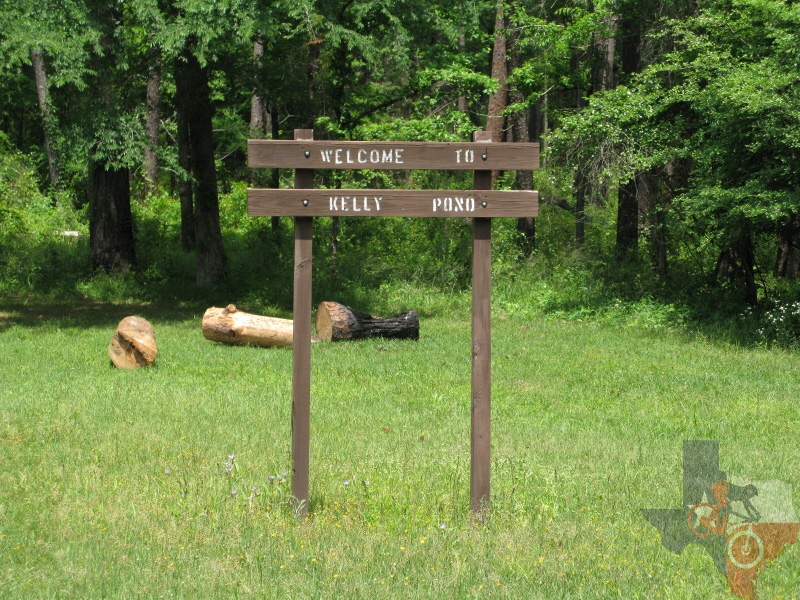
Kelly's Pond:
MapIt!
Cagle:
41.75 miles
Kelly's Pond: 43.25 miles
3-4
wide path; doubletrack; singletrack
network
US Forest Service (Cagle) | US Forest Service (Kelly's Pond)
$5 per person per day (self pay
stations at trailheads) or $25 for a Sam Houston National Forest Annual
Multiple-Use Trail Pass.
Note: fee covers both areas
n/a
ŌĆó Restrooms
US Forest Service I | US Forest Service II
(936) 344-6205
Click here to send an email
ŌĆó Camping is available


unavailable
At approx 41.75 miles,
Cagle offers a whole lot of trail for your riding pleasure, if your
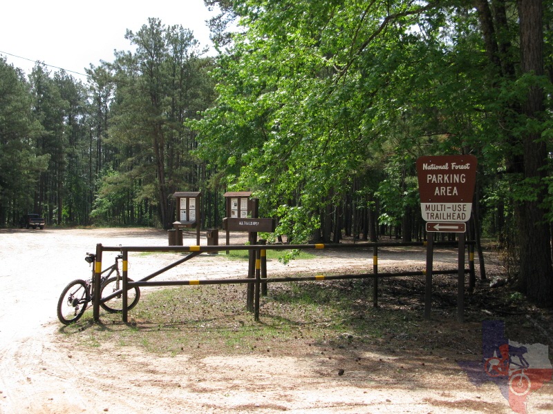
riding pleasures include loose sand, of course. The main parking area
features three trailheads to choose from, so take a look at the map
and decide which way you wish to go. KellyŌĆÖs Pond, on the other hand,
offers 43.25 miles (including the newer trails in the northwest).
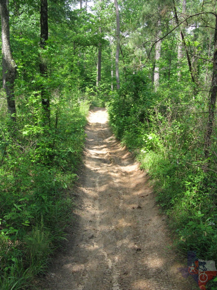
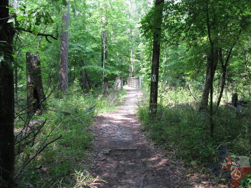
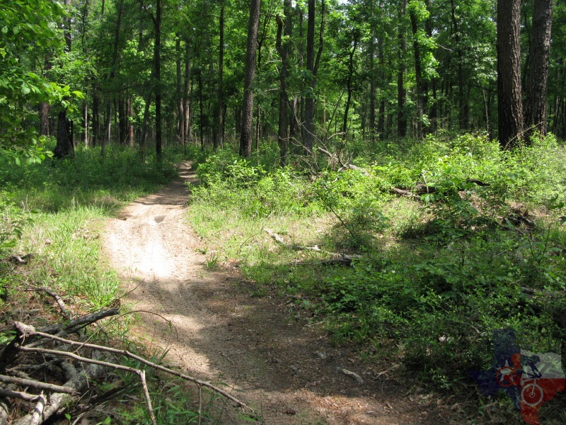
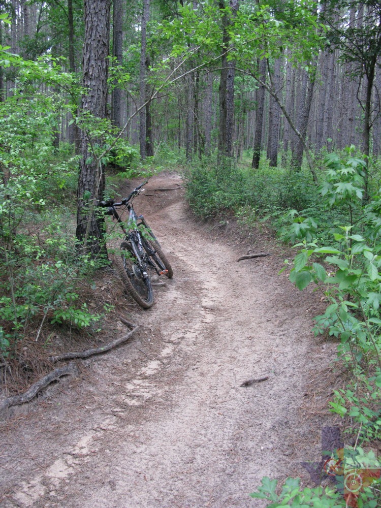
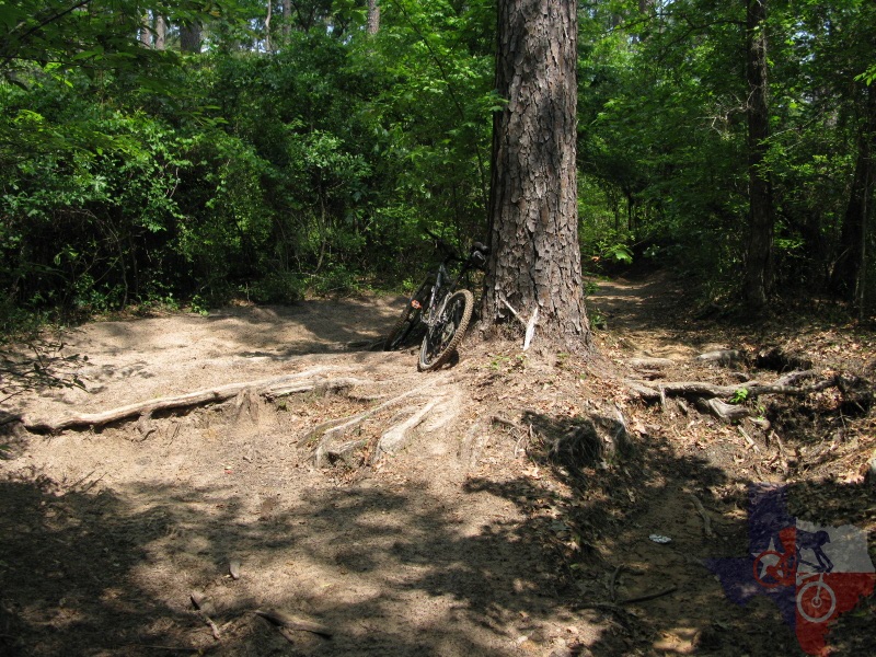
Perhaps one of the first things you will notice is that the trail is really
loose, and that is because these trails are more frequented and designed
for dirt bikes. Unfortunately, this makes many sections quite difficult,
if not unrideable. Ever run on the beach? Pedaling is even more difficult.
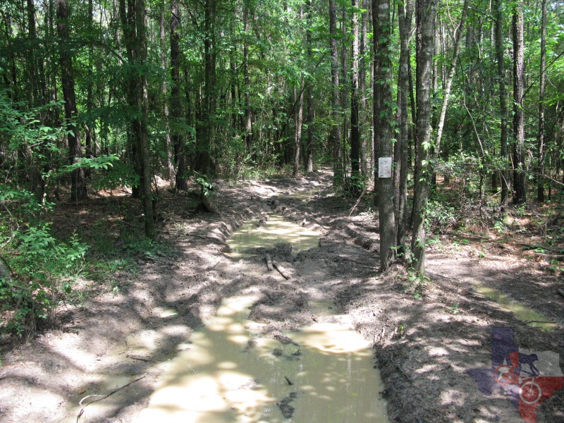
Also, because of the dirt bikes, there are quite a few sections that
are rutted. Ordinarily this might not be a big deal, but if it has rained
in the last 2 weeks, expect to get a little muddy or find yourself walking
a bit. The good thing is that many of the sections are wide enough that
even with the ruts and puddles you can safely ride around them without
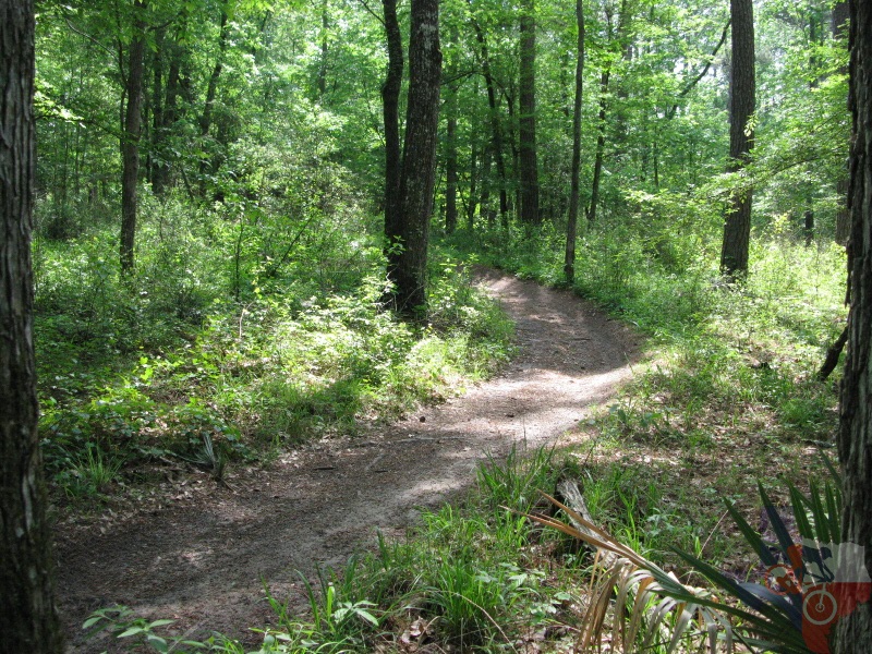
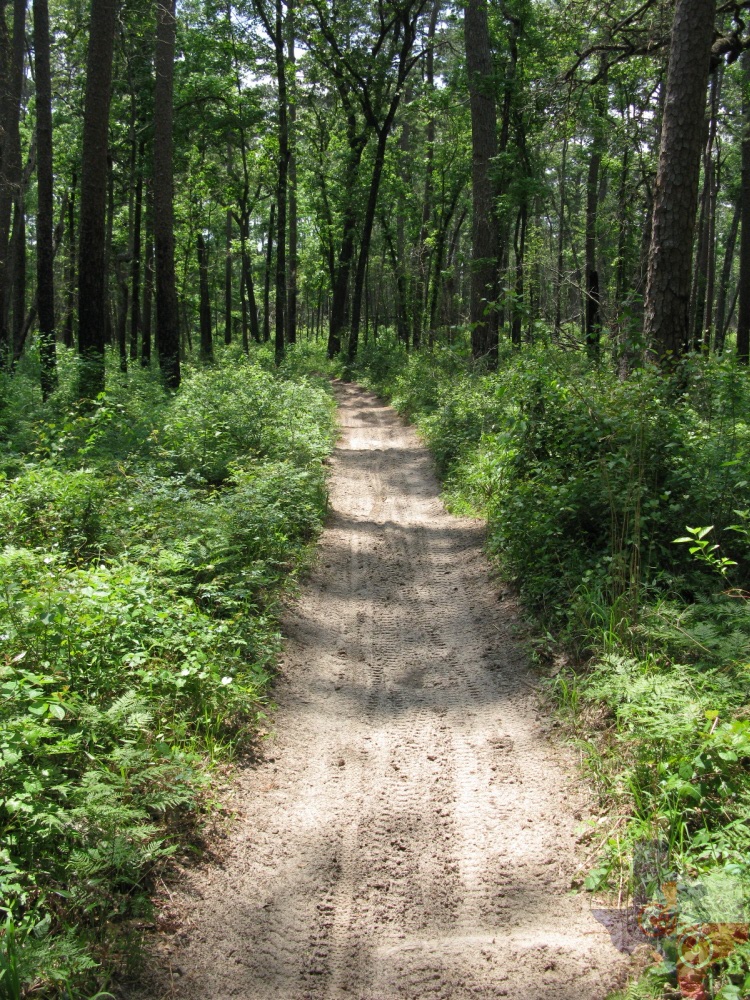
widening the trail any more than it already is. KellyŌĆÖs pond isnŌĆÖt much
different than Cagle; however, in the few miles I rode, it seemed a
little sandier, but less rutted and more closely resembling singletrack.
Naturally, nearby Double Lake Recreation Area should be your first choice
for trails designed specifically for mountain biking, but if you are
looking for something thatŌĆÖs a lot more challenging and offers many,
many more miles, consider Cagle and/or KellyŌĆÖs Pond.
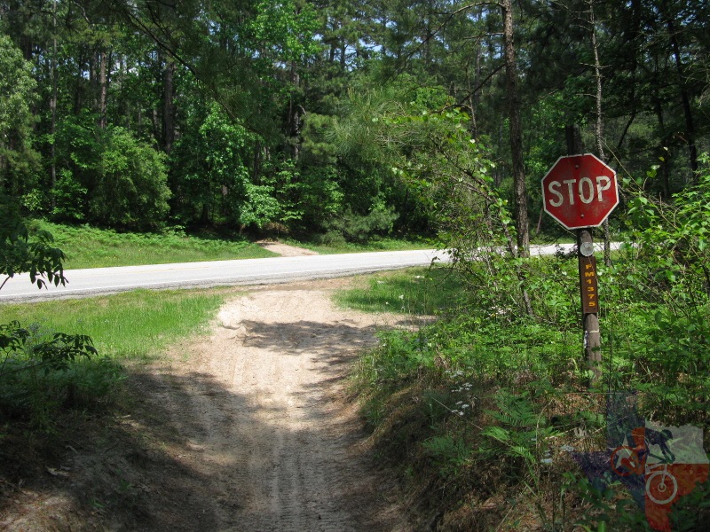
Lastly, please be aware that both area's trails are bi-directional, and the
dirt bikes arenŌĆÖt looking for you. Nor are the cars doing 70mph when
the trail crosses the highway. Be careful.
~ MountainBikeTx.com(Apr 2010)