MountainBikeTx.com
Mary Moore Searight Metro Park
Austin, TX
Click here for help on how to read this trail guide
Directions:
Length:
Technical Level:
Trail Type:
Configuration:
Trail Map(s):
Fee:
Trails:
Amenities:
Links:
Contact:
Comments:
Photos:
Video:
Trail Review:
6 miles
2
singletrack; wide path
network
none
n/a
тАв Restrooms
тАв Barbeque pits
тАв Basketball, tennis and volleyball courts
тАв Disc golf
тАв Fishing piers
тАв Soccer and multipurpose fields
тАв Picnic tables and shelters
тАв Playgrounds
тАв Reservable facilities
(512) 974-6700
Click here to send an email
тАв Sections of trail intersect or travel along the equestrian trail
unavailable
Mary Moore Searight Park
may not be the first trail that comes to mind when you think of what
Austin has to offer; as a matter-of-fact, as this review is written,
MountainBikeTx.com is the only mountain biking site that you will find
AustinтАЩs Mary Moore Searight Park listed in detail, so it may not come
to mind at all. Nevertheless, the trails found here can be fun, even
if they arenтАЩt the most technical in the area.
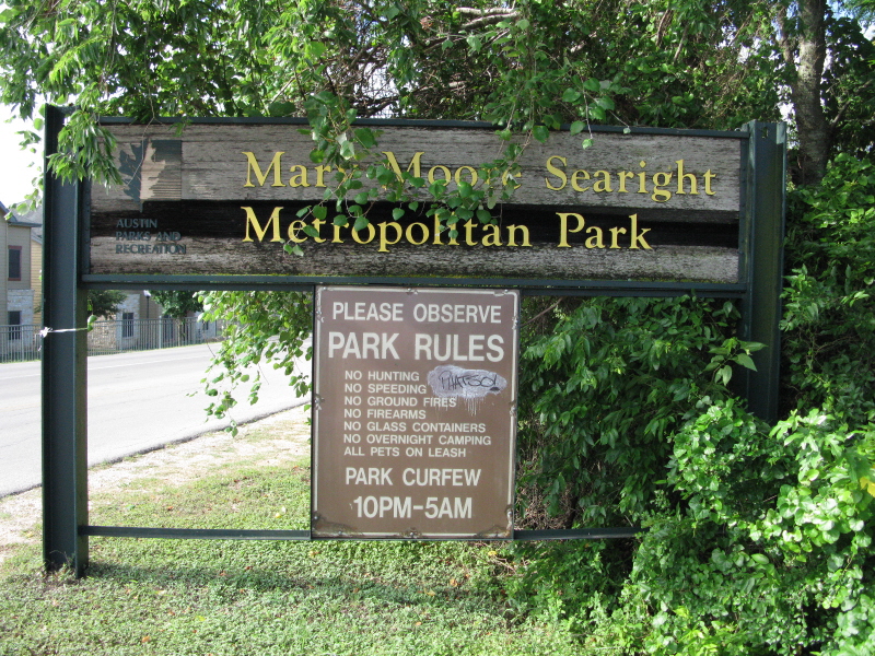
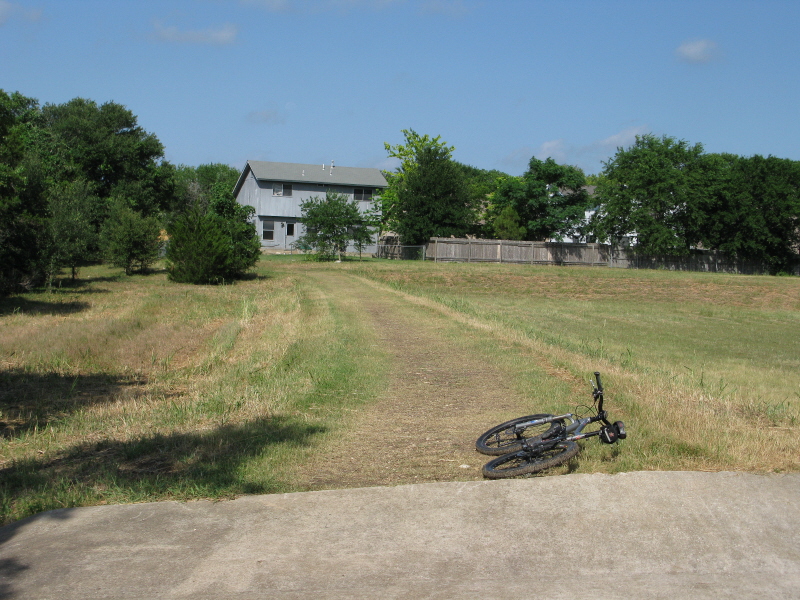
When you are driving to Mary Moore you definitely have to keep an eye out
for your turn, as the park sign is partially obscured by a nearby tree.
Once you find the turn, however, follow the road on back to the main
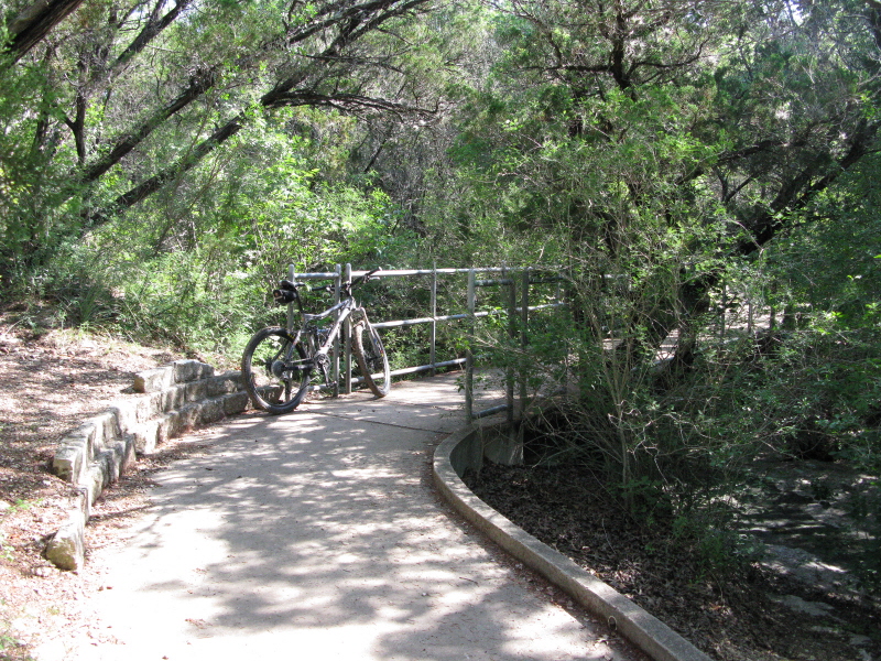
trailhead. The trail itself begins by the restrooms as a paved trail
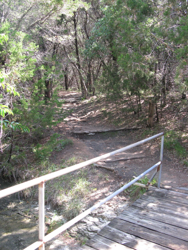
and immediately crosses a small creek, after which it splits. Go left,
as indicated on the map, unless you have the desire to ride with horses
and there are horses out here.
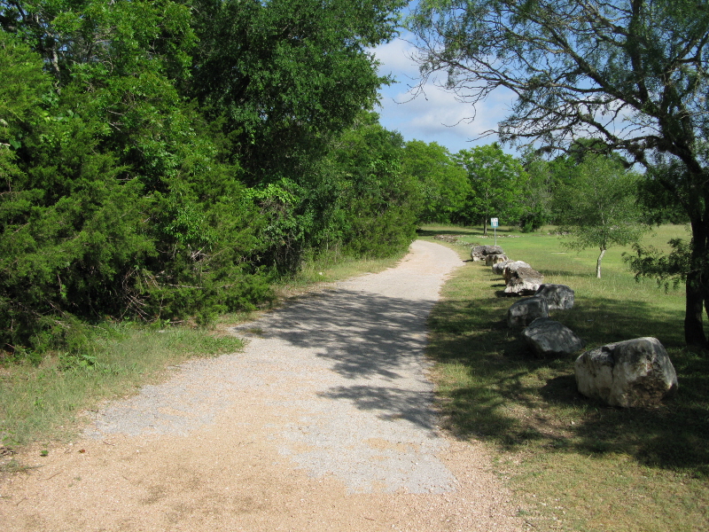
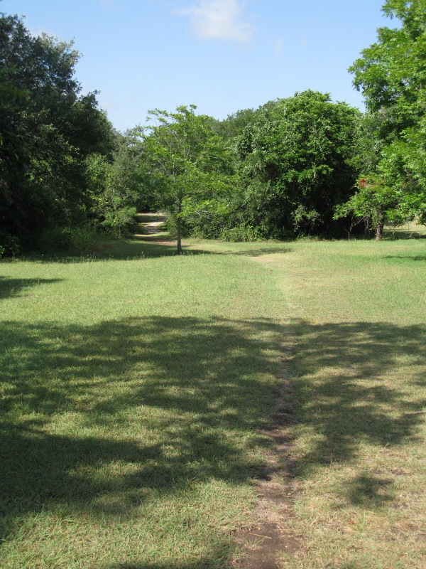
If you continue along the paved path you will find that in some cases sections
are in bad shape and broken up. Some sections are practically nothing
more than a gravel path. This paved loop is about a mile and half long
and would be ideally suited for someone just getting familiar with mountain
biking, since the broken up sections mimic riding off-road. ThatтАЩs about
all the paved loop is good for, unless you consider the workout stations
along the length of it that can be used for a circuit training workout.
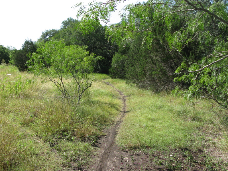
Unfortunately, the map doesnтАЩt distinguish between paved path and singletrack,
though it does differentiate between those and equestrian trails. Just
keep in mind that the paved path is the big loop just south of the main
trailhead and the singletrack is all the rest to the southeast of the
big loop. Just know that if you pay attention to the map as to where
you are on the map you will be fine when it comes to navigating the
network of singletrack.
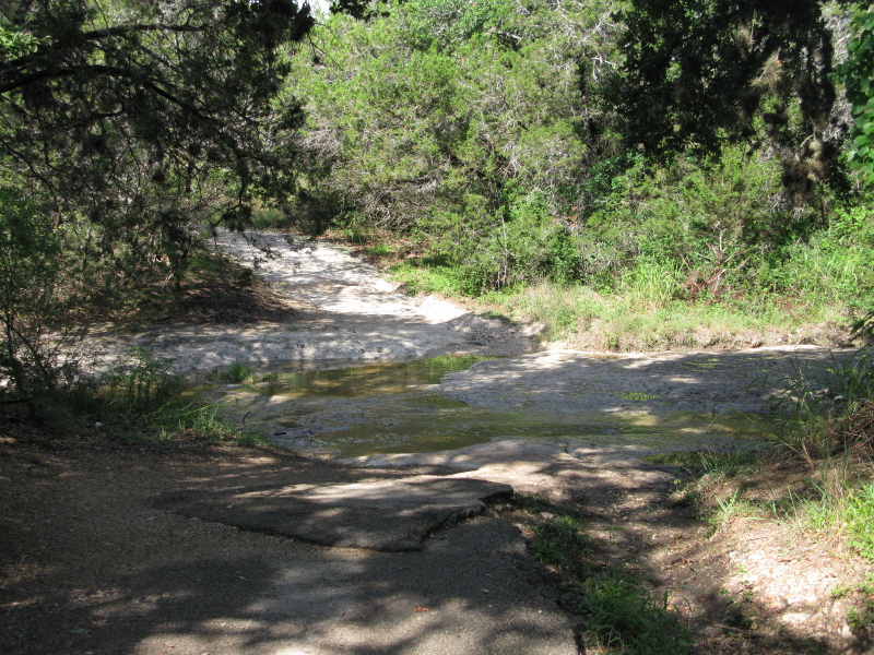
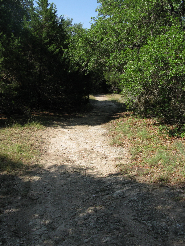
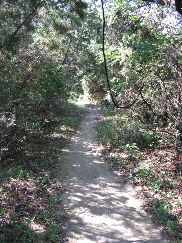
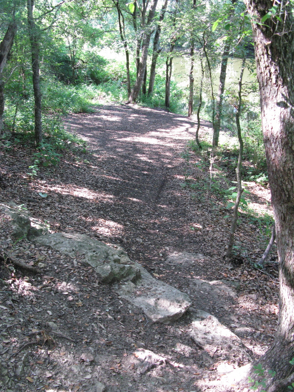
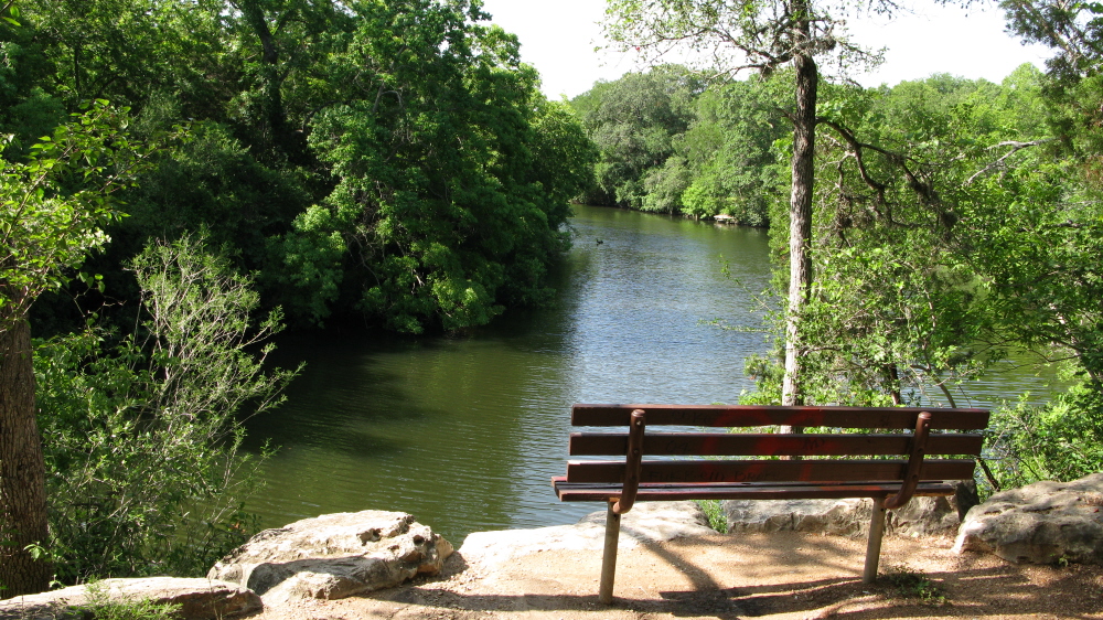
IтАЩm not sure why, but when a trail runs along a river or creek, I dig it,
and Mary Moore provides just that type of experience. Some sections
running along Slaughter Creek even have benches so that you can sit
and enjoy the creek and the local wildlife.
Since the trail lacks any established direction of travel (and how could
it given the network that it is?) itтАЩs probably easier to simply mention
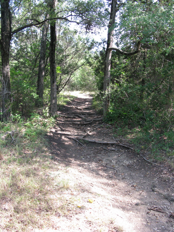
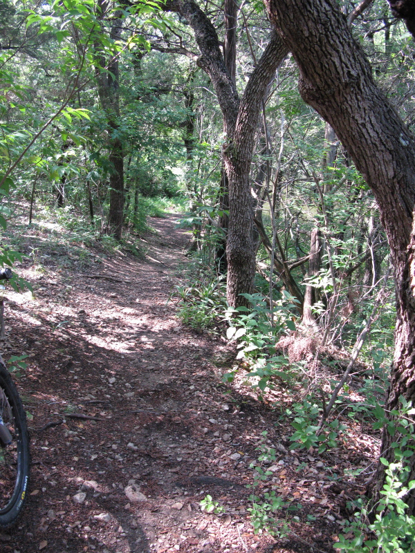
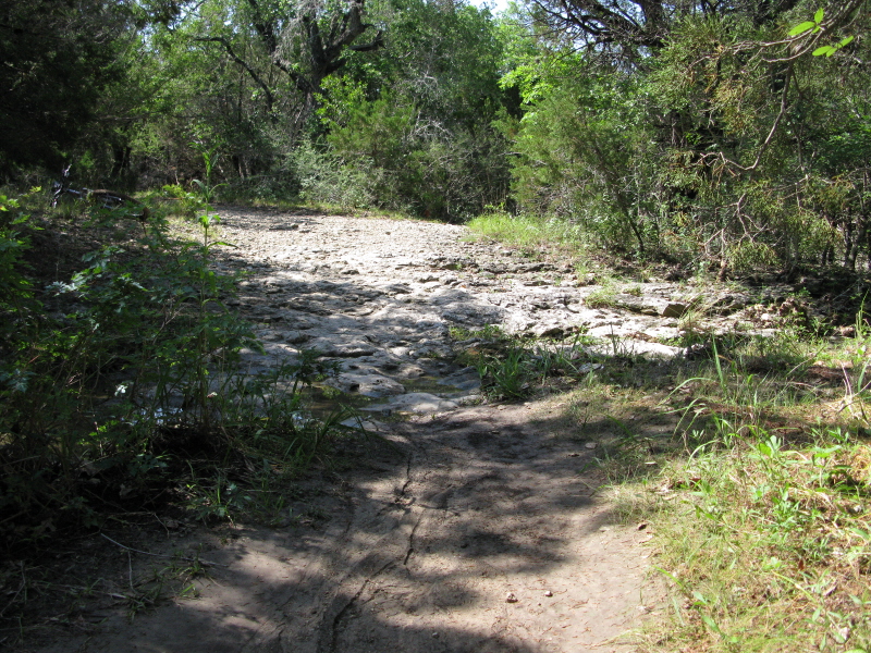
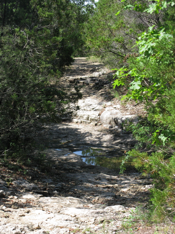
the various types of terrain you will find. There are a few rocky climbs
or descents depending on your direction and occasional ledges. YouтАЩll
also find a couple root-laced sections down closer to the creek and
a couple water crossings (if thereтАЩs water). Speaking of water, like
many Austin trails, IтАЩd give this one a day or two to dry after a decent
rain.
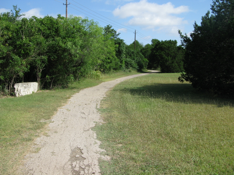
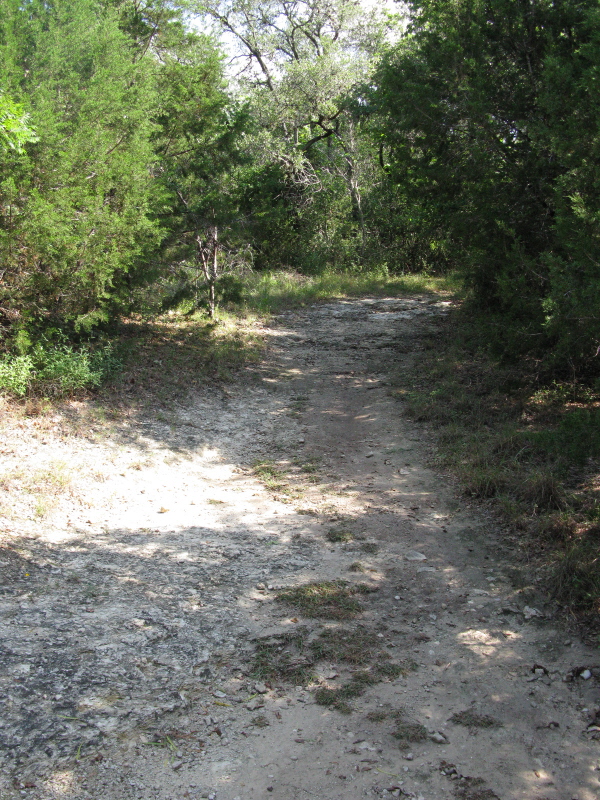
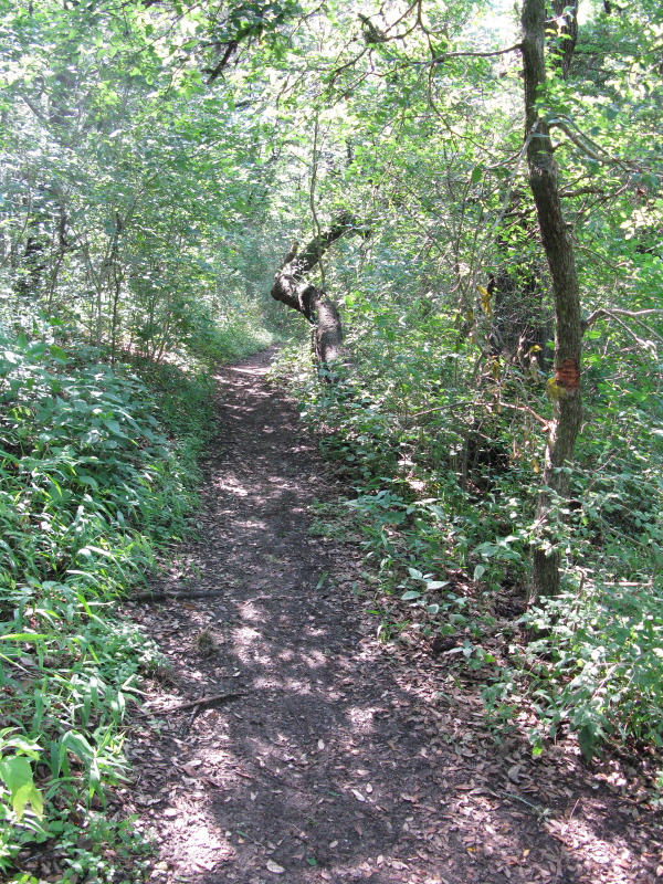
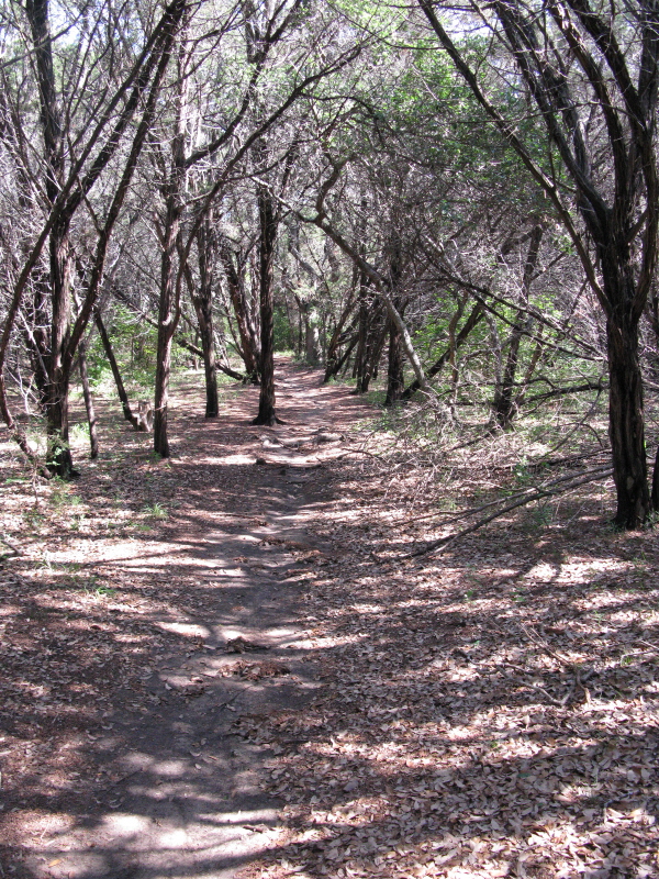
The 4.5 miles of singletrack is winding at times and all in all isnтАЩt too
bad. It actually mingles with some of the outlying paved path that serves
as a link from singletrack to more singletrack. Something to keep in
mind, though, is that there are some sections that are not noted on
the map. I am not sure if these will eventually find themselves on a
new map or if they are rogue trails, though. Like I mentioned earlier,
nothing too technical but a nice change of pace from the usual Austin
trails. All in all, a good beginner trail that can even be fun for the
more experienced.
~ MountainBikeTx.com