MountainBikeTx.com
Kerrville-Schreiner Park
Kerrville, TX
Click here for help on how to read this trail guide
Directions:
Length:
Technical Level:
Trail Type:
Configuration:
Trail Map(s):
Fee:
Trails:
Amenities:
Links:
Contact:
Comments:
Photos:
Video:
Trail Review:
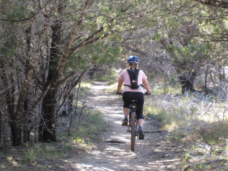
6 miles
2
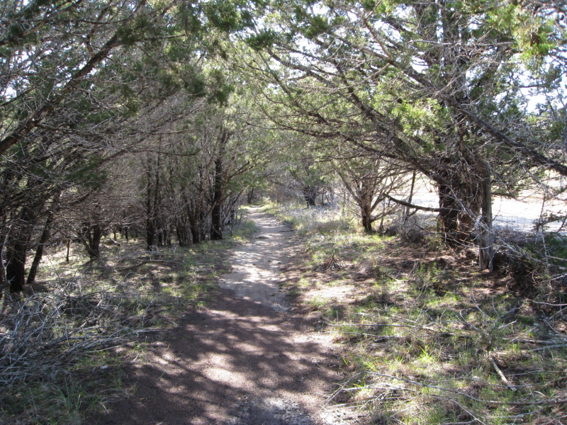
singletrack; wide path
network
$4 per person 13 and older/day
use, not to exceed $10 per vehicle
(annual pass available for $25)
Blue | Green | Orange | Red | Yellow
‚ÄĘ Restrooms w/ hot showers
‚ÄĘ Day use picnic sites
‚ÄĘ 2 age-graded playgrounds
‚ÄĘ Campsites w/ water nearby
‚ÄĘ Various campsites w/ water, electrical hookups, sewer connections
and/or shade shelters
‚ÄĘ Mini-cabins w/ A/C and heat and a full-sized cabin w/ A/C and heat
‚ÄĘ Trailer dump stations
‚ÄĘ Group picnic areas
‚ÄĘ Group dining hall
‚ÄĘ Group recreation hall
‚ÄĘ Amphitheater on the banks of the Guadalupe River
‚ÄĘ Laundromat
‚ÄĘ Boat ramp
‚ÄĘ Lighted fishing pier
(830) 257-7300 or (830) 257-5392
n/a
unavailable
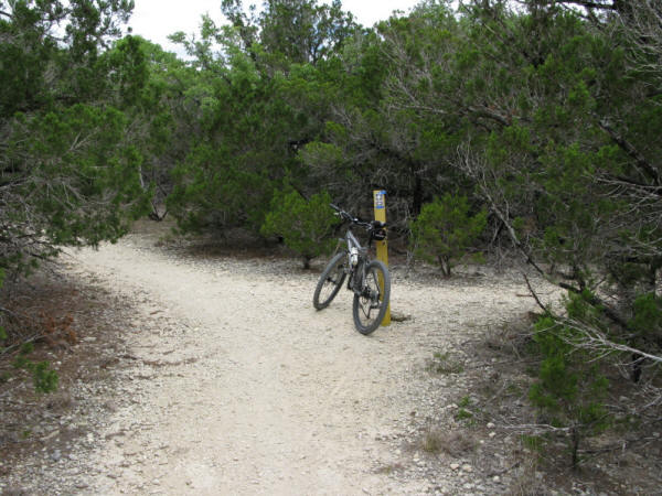
Once you get your pass/permit
from the park headquarters cross Texas 173 and enter the park. You have
the choice of 3 different trailheads, each with parking. Although the
farthest in, Trailhead 3 may be the ideal place to start, but since
Kerrville-Schreiner’s trails are all interconnected any of the 3 trailheads
would work. All of the color coded trails are configured as loops, the
exception being the Yellow Trail which is an out and back. Navigating
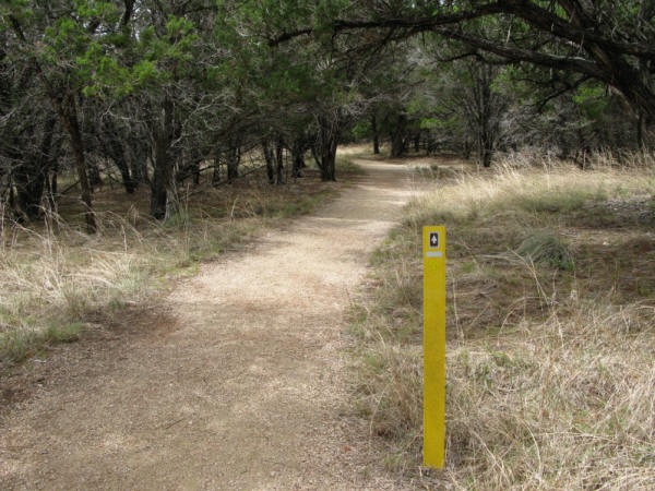
amongst the trails of Kerrville-Schreiner is fairly easy with the aid
of directional markers at most intersections. The only variation to
this is found on the Red Trail, possibly making it a little confusing
your first time around.
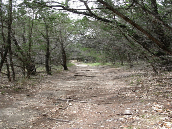
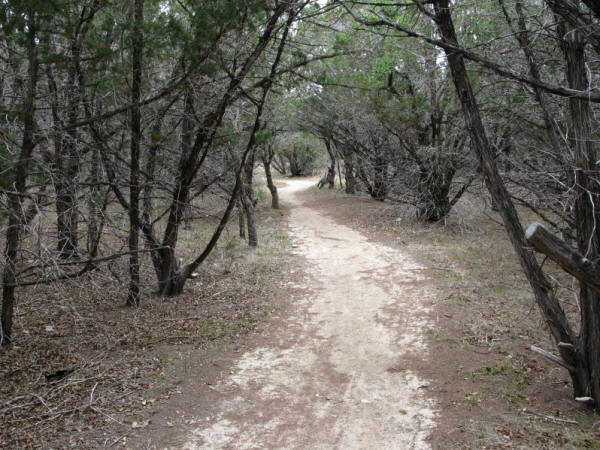
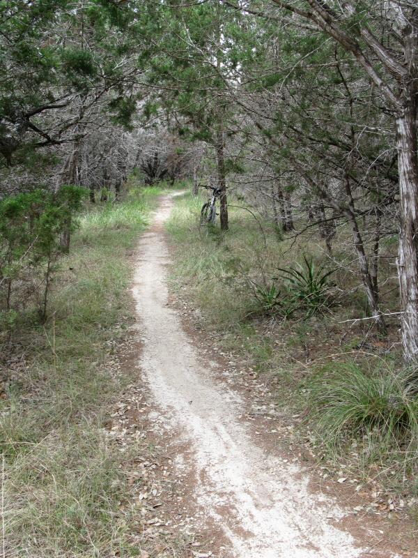
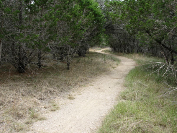
Red Trail/Green Trail ‚Äď Neither the Green nor the Red are rather difficult
trails. As a matter-of-fact, according to the map, these trails are
considered relatively easy. Labeling the better part of these two trails
as singletrack may be stretching things a bit, as most is more like
wide path, with patches of true singletrack thrown in. The Red Trail
features a few rogue offshoots, a couple of which simply break from
the main trail and return to it 10 or 20 ft further down, adding a little
bit of variation or confusion (depending on your perspective).
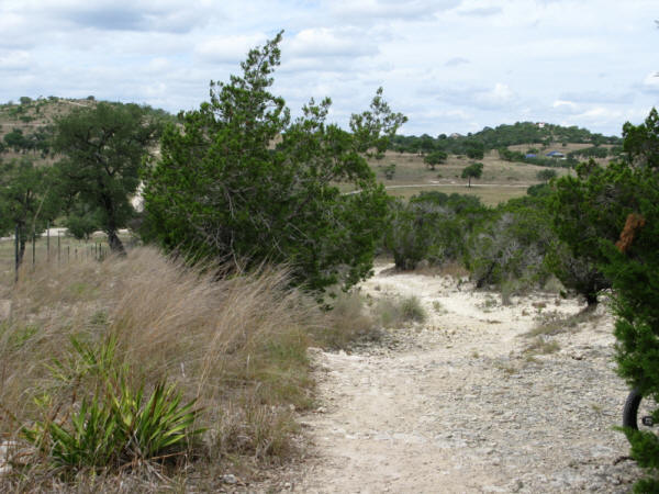
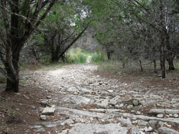
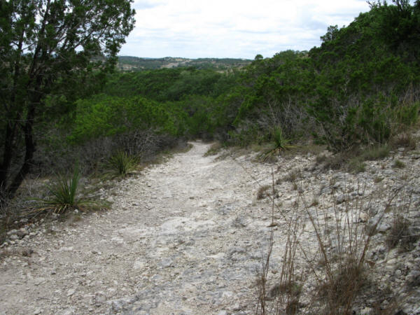
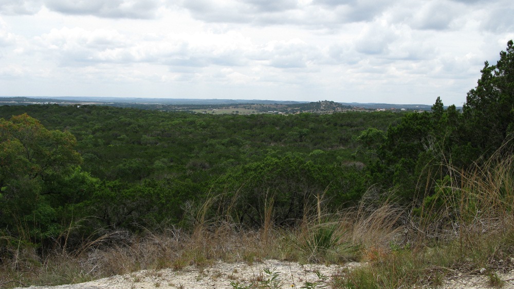
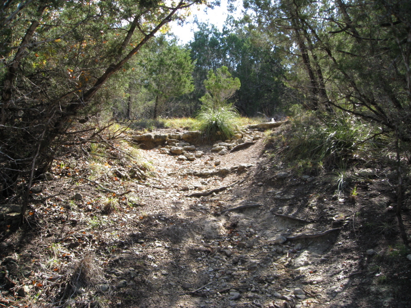
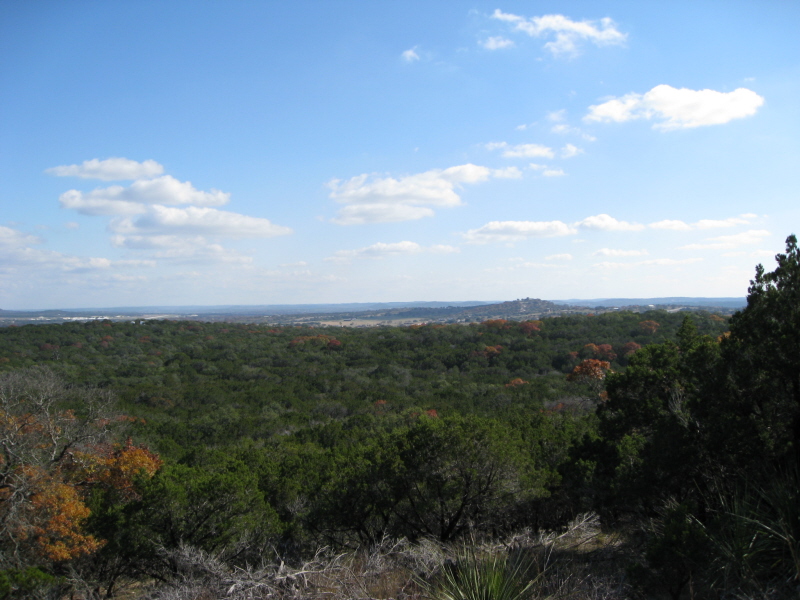
Orange Trail ‚Äď Labeled as steep and difficult, the Orange Trail provides your
one opportunity for real climbing. The climb is unavoidable if you wish
to complete the loop, so I’d recommend that you do so in a clockwise
direction. By heading this direction your descent from the Overlook
will be faster and last longer as the trail remains straight long after
the descent. If you choose to complete the loop counter-clockwise, your
descent will be interrupted by a ‚ÄėT‚Äô in the trail. The Orange Trail
provides the greatest amount of real singletrack.
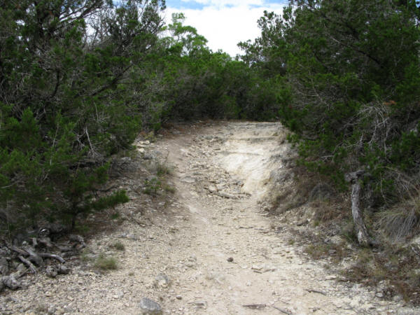
Blue Trail ‚Äď Half of the Blue Trail is made up of, as the map indicates,
Old Road. With that said, there isn’t a whole lot to really say about
the Blue Trail other than half of it is comprised of dirt road, the
other half singletrack/wide path. It is a bit more difficult to ride
than the Green or Red trails, but not overly difficult by any means.
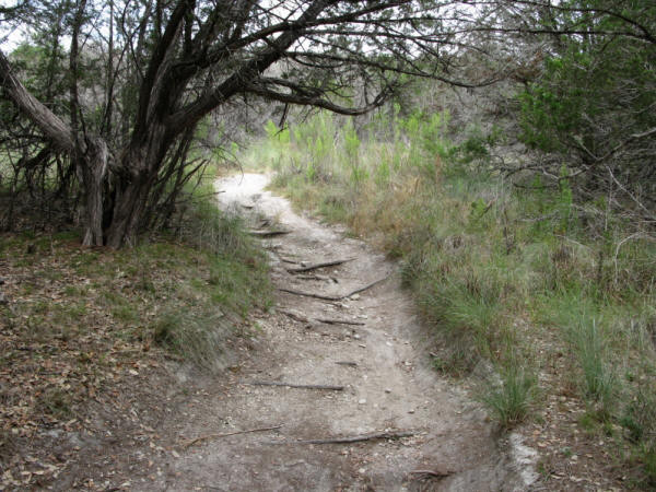
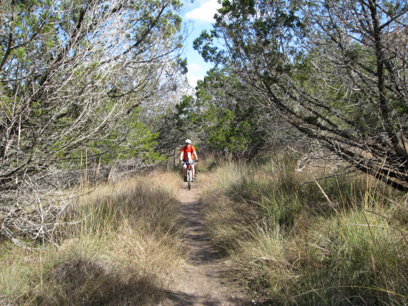
Yellow Trail ‚Äď The Yellow Trail is unique from the other trails in that it
is an out and back. I’d recommend starting from Trailhead 3 because,
although you start out with a slight ascent along rocky ledges, your
return trip to the trailhead results in a fast-paced ride with multiple
drops along the way.
Kerrville-Schreiner Park may not be the most difficult trail out there by
any means, but it’s definitely worth the ride if you are in the area.
The nice thing about this trail network is that it has a little something
for riders of all riding abilities. It’s only weakness, however, is
erosion, as a few sections of trail are highly eroded and have developed
washouts as a result. Fortunately, however, this makes for some fun
lines.
~ MountainBikeTx.com(August 2008)