MountainBikeTx.com
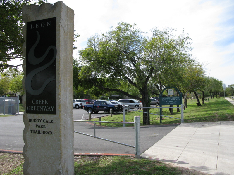
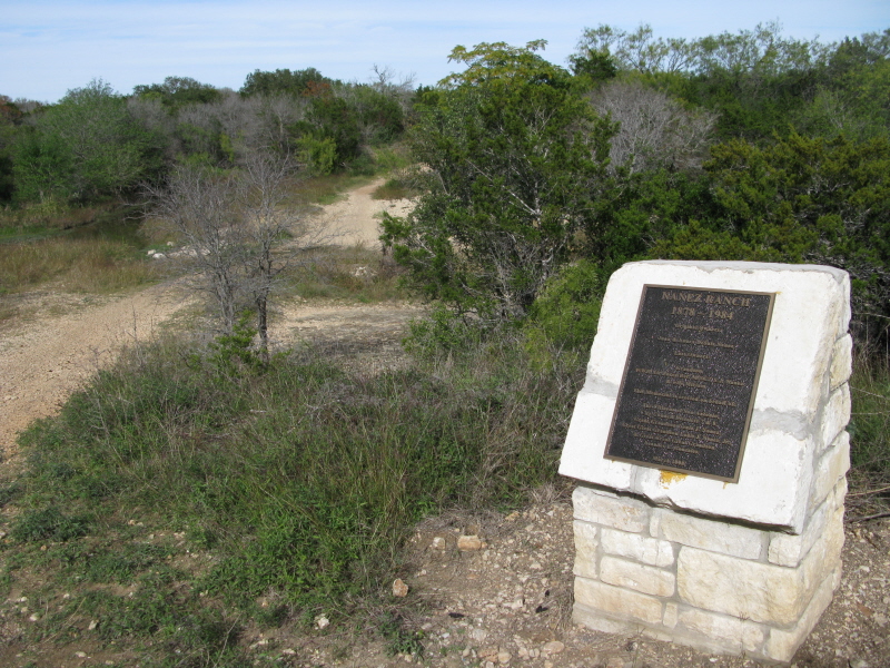
Leon Creek Greenway
San Antonio, TX
Click here for help on how to read this trail guide
Directions:
Length:
Technical Level:
Trail Type:
Configuration:
Trail Map(s):
Fee:
Trails:
Amenities:
Links:
Contact:
Comments:
Photos:
Video:
Trail Review:
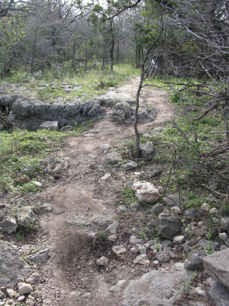
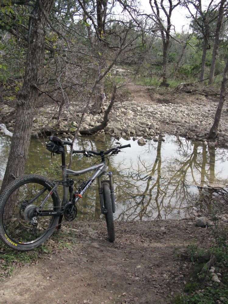
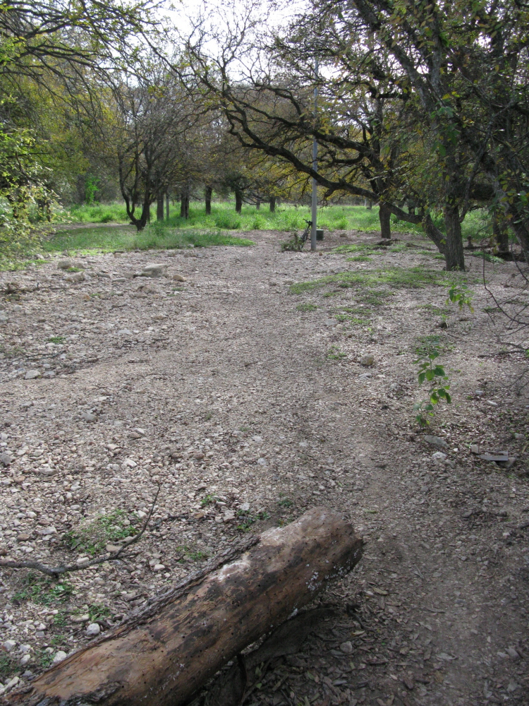
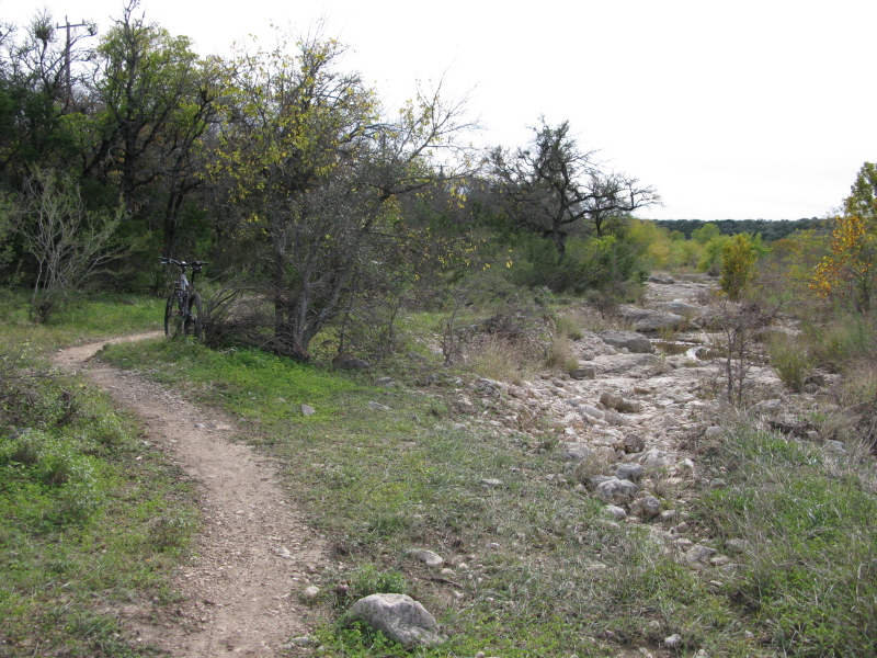
9+ miles
1-3
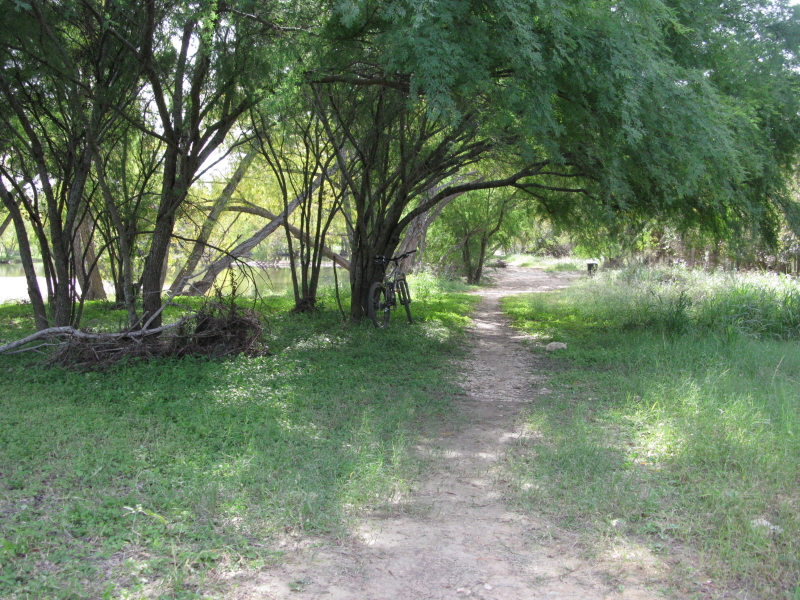
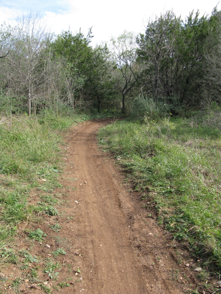
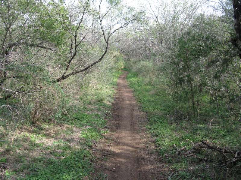
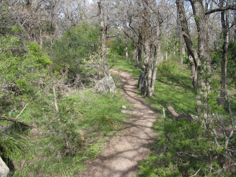
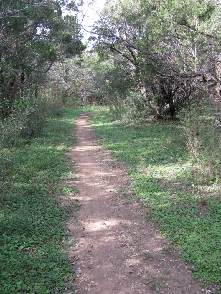
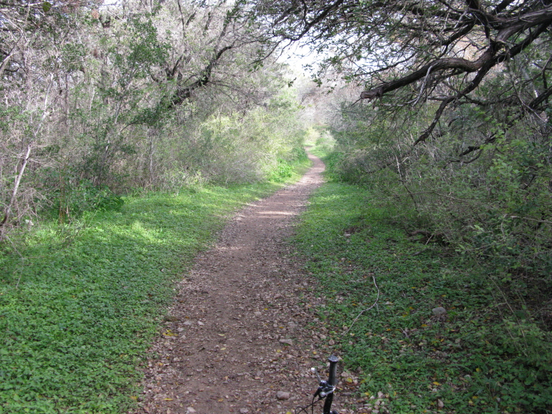
singletrack; paved
out and back
City of San Antonio | Googlemap overlay (.kml)
none
n/a
• Restrooms


unavailable
Last modified: 7 January 2016