MountainBikeTx.com
LBJ National Grasslands
(incl. Caddo National Grasslands WMA)
Decatur, TX
Click here for help on how to read this trail guide
Directions:
Length:
Technical Level:
Trail Type:
Configuration:
Trail Map(s):
Fee:
Trails:
Amenities:
Links:
Contact:
Comments:
Photos:
Video:
Trail Review:
75 miles (Orange 25.2 miles)
2
singletrack; doubletrack
loops
$4 per vehicle (inside the gates)
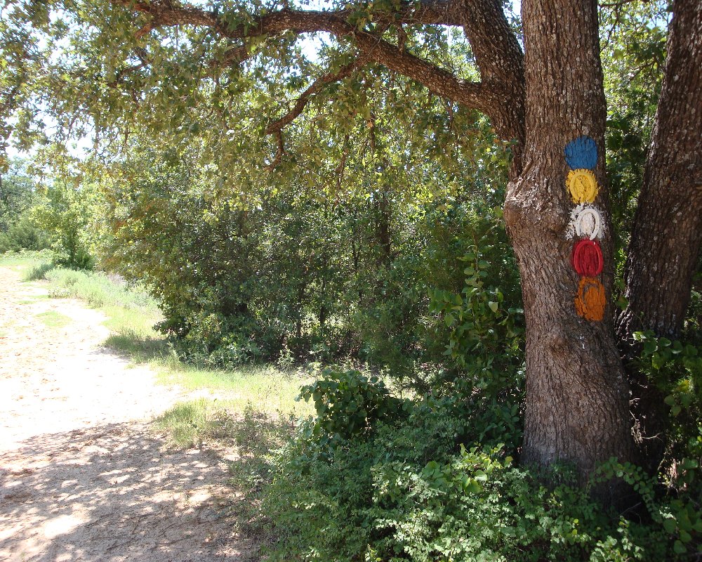
Blue | Orange | Red | White | Yellow
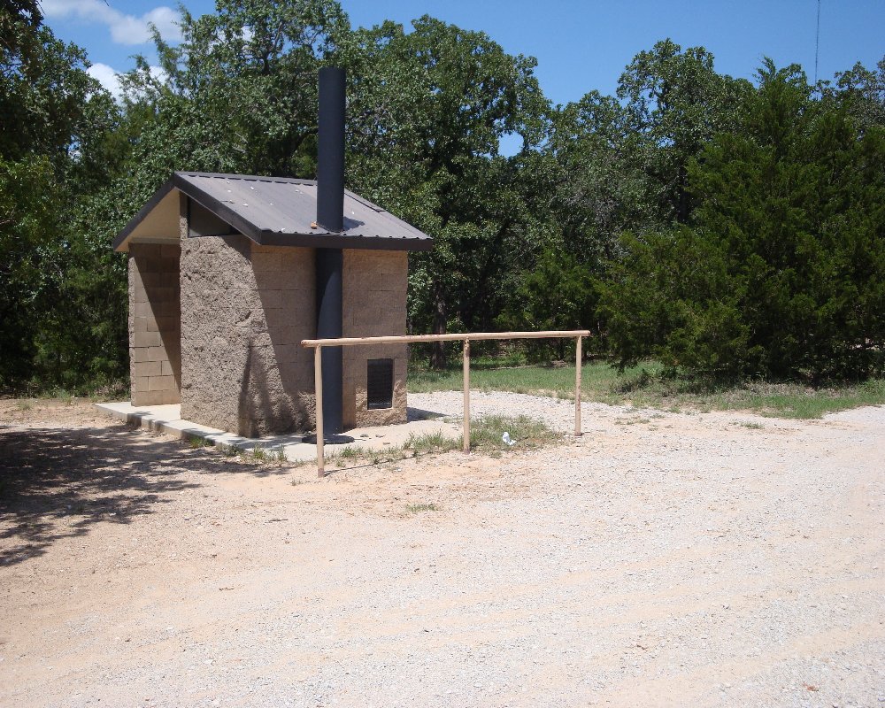
• Restrooms
• 7 picnic units
• 7 walk-in camp units
• Improved boat ramp
• Fishing bridge
US Forest Service | US Forest Service II
(940) 627-5475
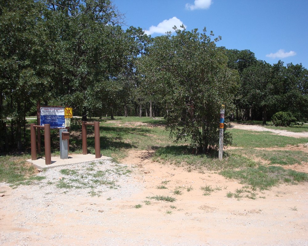
• Googlemap points to central trailhead (where all
trails meet on the map (look for "TADRA" on the map))
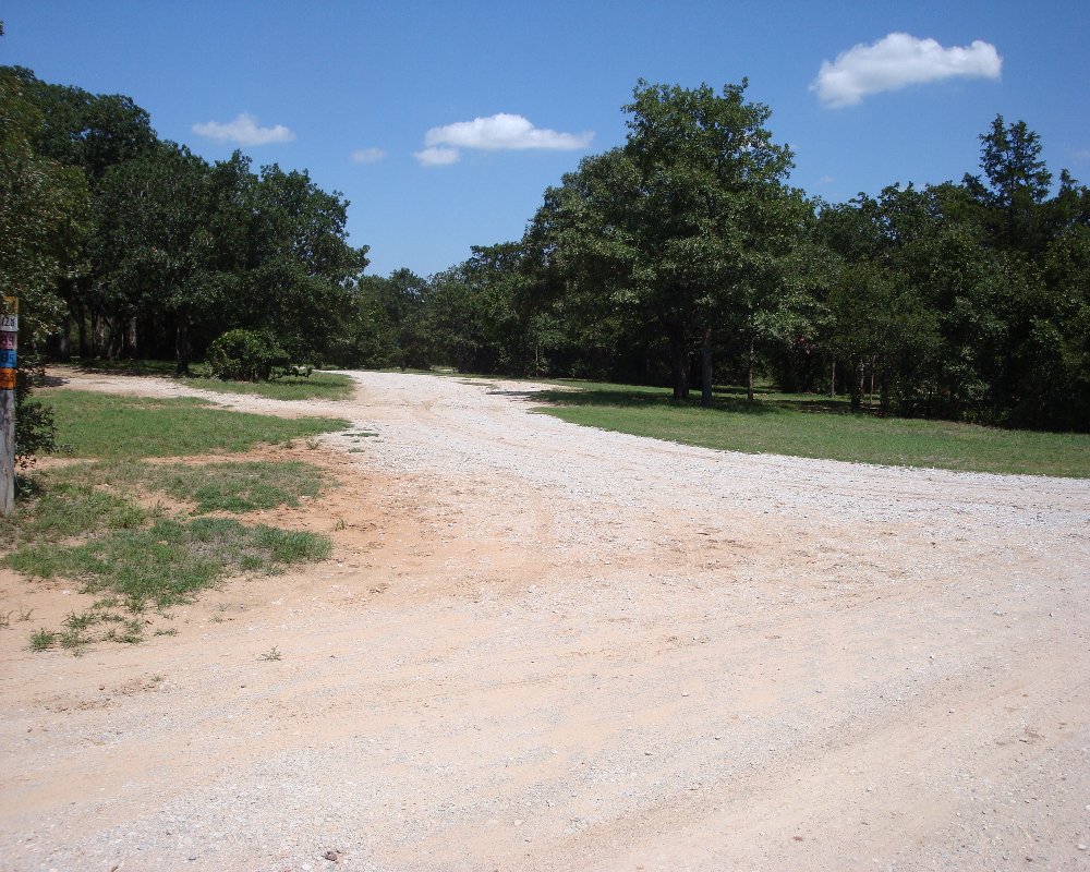
• Expect to ride in sand. Outfit your bike and personal gear appropriately
• This area is popular for hunting. Wear bright colors so you may be
seen during the Fall and Winter (just in case)

unavailable
unavailable