MountainBikeTx.com
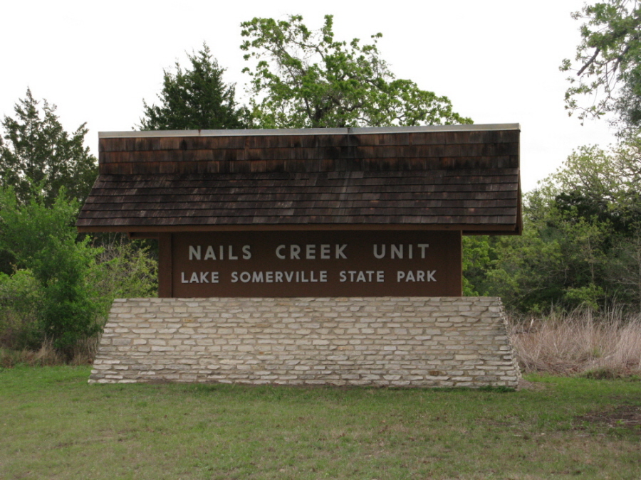
Lake Somerville State Park
(Nails Creek Unit)
Somerville, TX
Click here for help on how to read this trail guide
Directions:
Length:
Technical Level:
Trail Type:
Configuration:
Trail Map(s):
Fee:
Trails:
Amenities:
Links:
Contact:
Comments:
Photos:
Video:
Trail Review:
6 miles
2
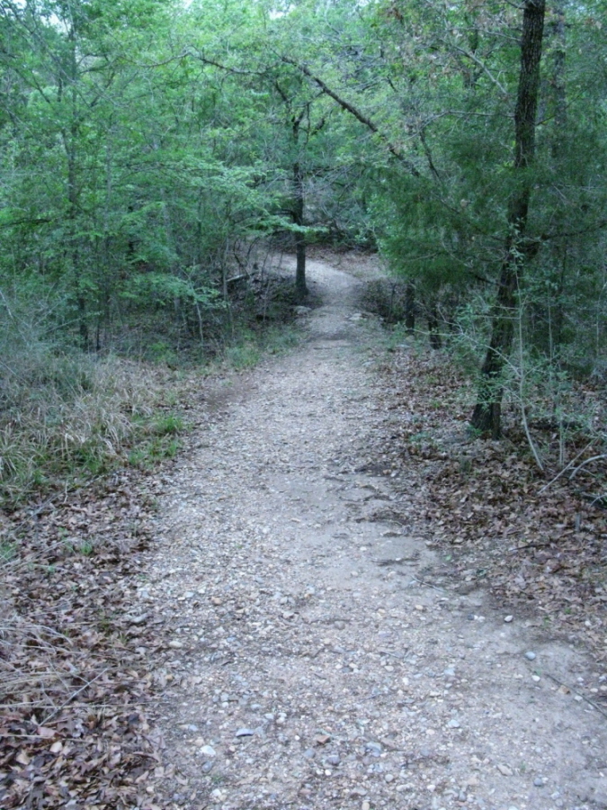
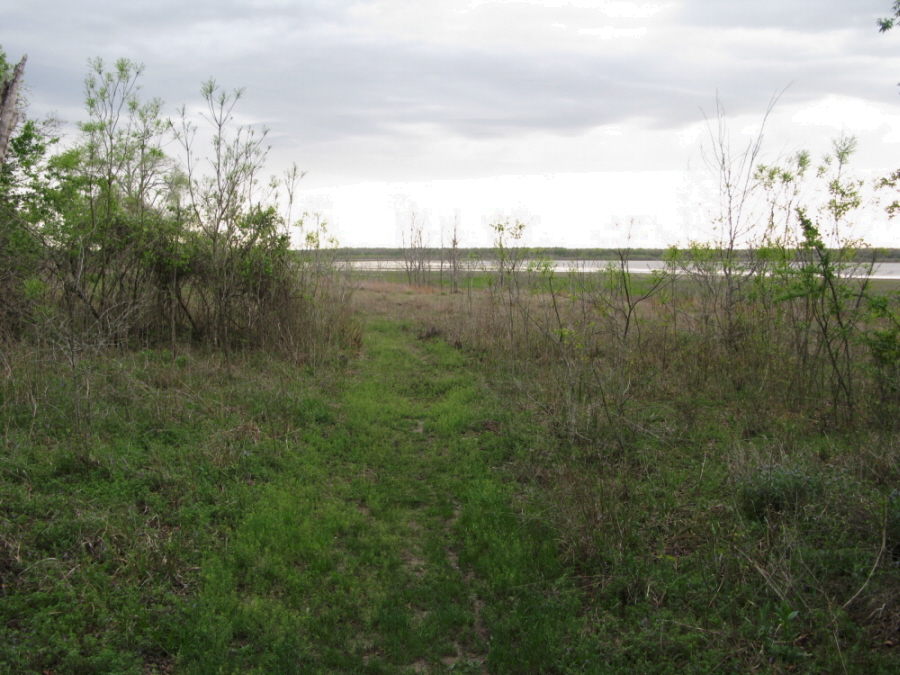
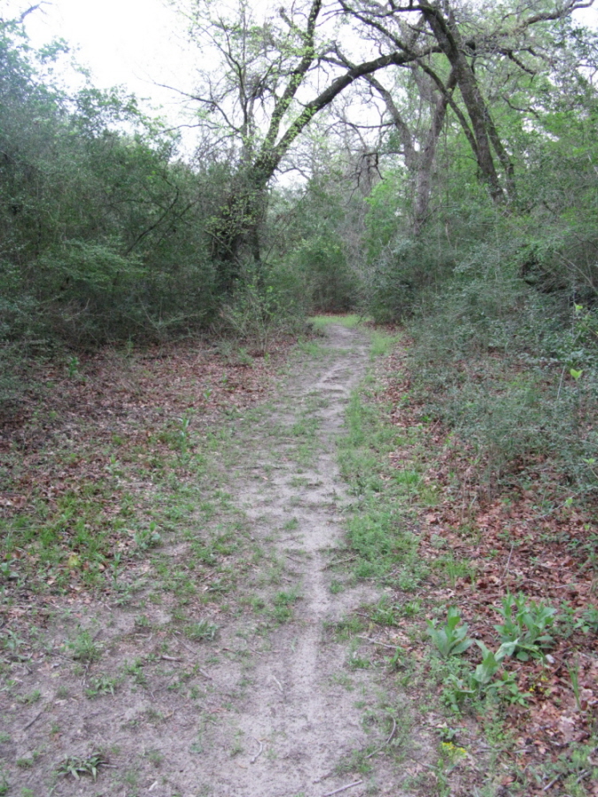
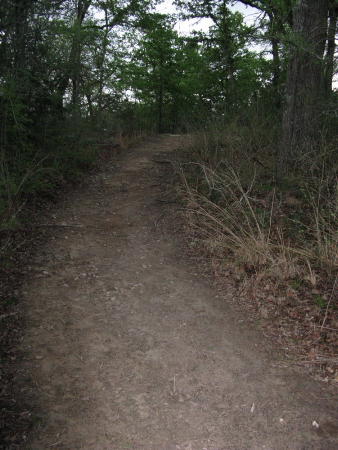
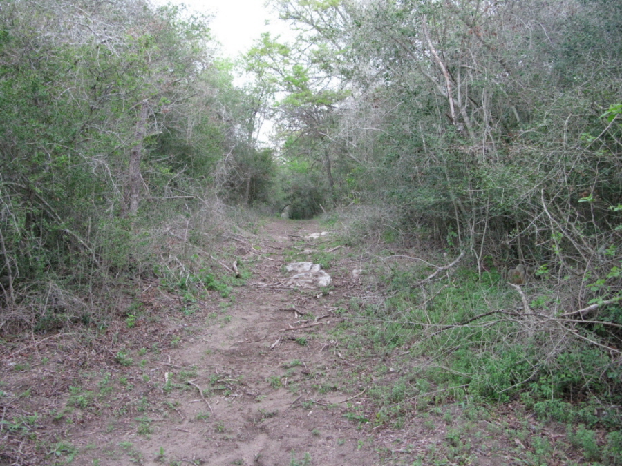
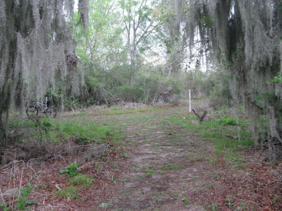
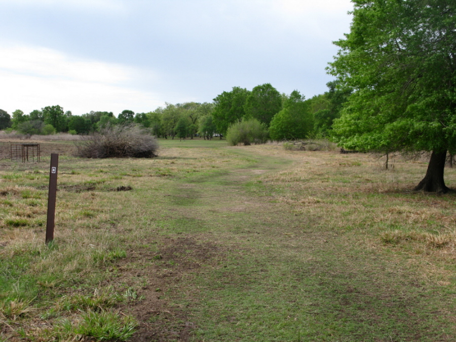
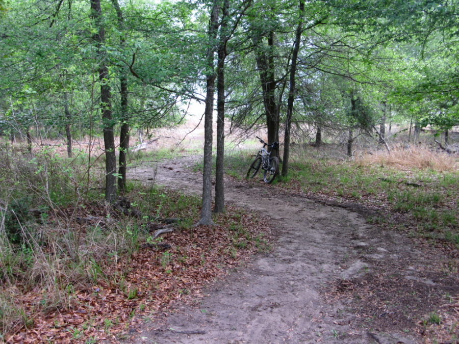
doubletrack; wide path; ranch road; singletrack
network
TPWD (Nails Creek) |
TPWD (Birch Creek)
GPS/Google (.kml) |
.gpx file |
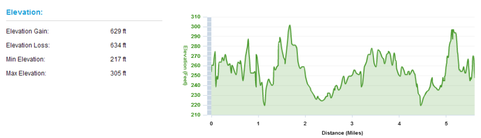
Elevation Profile
$5 per person 13 and older/day use (annual pass available for $70)
Scenic Trail | Cedar Creek Trail
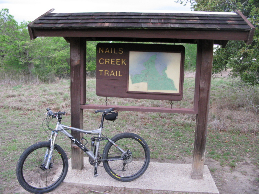
| Nails Creek Trail
• Restrooms (with and without
showers)
• Equestrian campsites with water in the area
• Walk-in tent campsites with water in the area
• Campsites with water & electric
• Group picnic pavilions
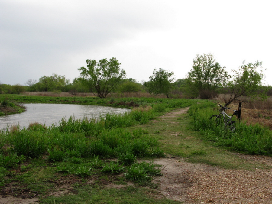
• Kids fishing pond
• Fish cleaning shelters
• Double-lane boat ramp
(979) 289-2392
Click here to send an
email

unavailable
unavailable