MountainBikeTx.com
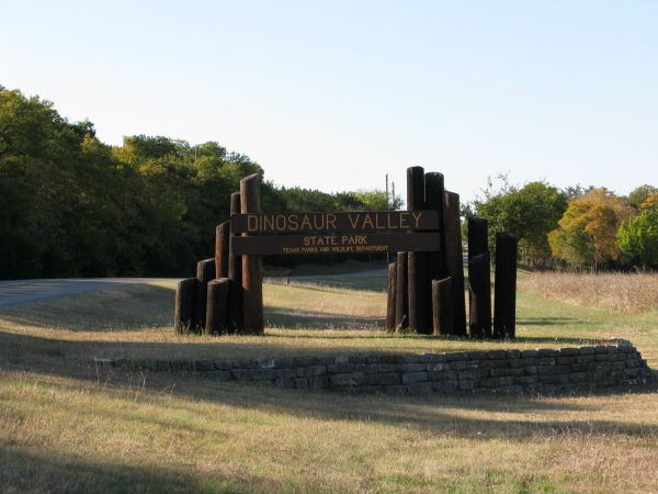
Dinosaur Valley State Park
Glen Rose, TX
Click here for help on how to read this trail guide
Directions:
Length:
Technical Level:
Trail Type:
Configuration:
Trail Map(s):
Fee:
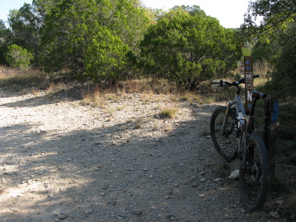
Trails:
Amenities:
Links:
Contact:
Comments:
Photos:
Video:
Trail Review:
14 miles
2-3
singletrack; doubletrack
network
$7 per person 13 and older/day use (annual pass available for $70)
Blue | Buckeye Creek Loop
| Cedar Brake Trail | Denio Creek Trail
Green | Orange | Outer Ridge Trail | Ridge Trail | White | Yellow
• Campsites with water and electric
hook-ups, a picnic table, fire ring and/or grill
• Restrooms with showers
• Backpack campsites (no restrooms in the area, water is available at
the trailhead)
• Day use only horseback riding is allowed in the South Equestrian Area
(users must provide their own horses, no overnight equestrian facilities)
• Day-use picnic area
• Group picnic pavilion with picnic tables and a fireplace (no electricity)
• Trailer dump station
• Outdoor amphitheater
• Interpretive center located in the headquarters
(254) 897-4588
Dinosaur Valley State Park allows you to pedal where giant reptiles once walked, in and out of small valleys, sometimes over exposed limestone slicks that can make for quick ups and downs. ~TPWD
unavailable
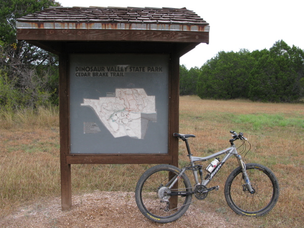
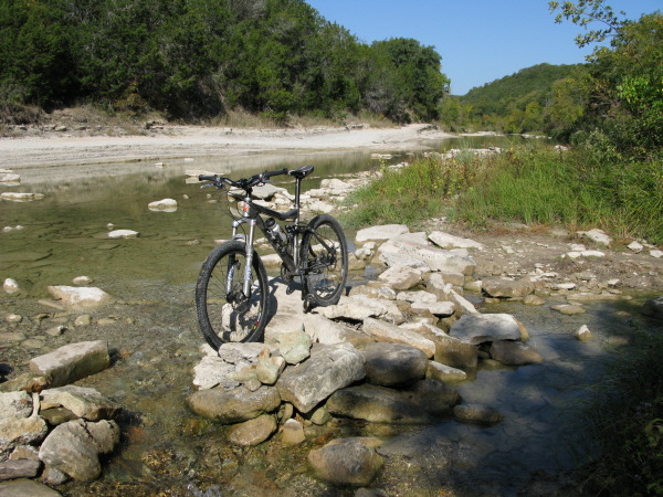
Cedar Brake Trail is the
first section of trail on your trip through the land that dinosaurs
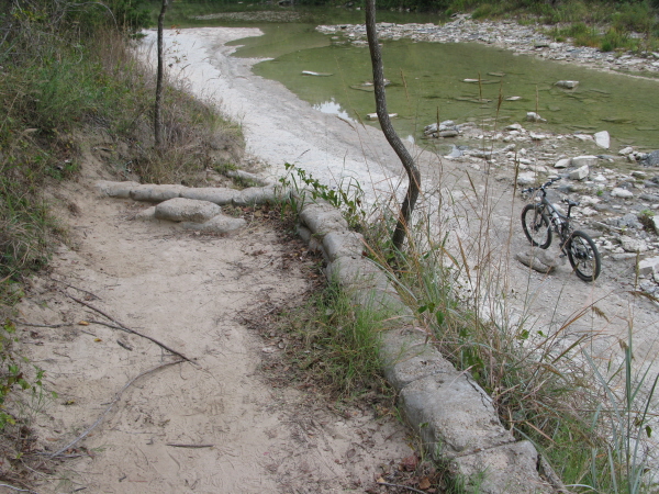
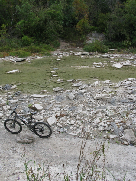
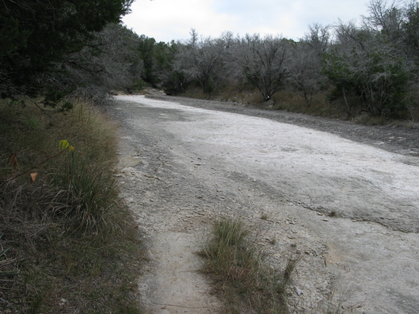
once roamed, and leads you to the Paluxy River. Cross the Paluxy River
(hopefully it hasn’t rained too much lately) and jump back on your bike
to the White trail. Soon after starting out the trail splits. If you
go right, you’ll be taking the White trail and if you go straight you’ll
be on the White trail; however, by going straight you will have to carry
your bike, as the Denio Creek crossing isn’t even close to rideable.
The White trail is a large loop consisting of the River Trail, Outer Ridge
Trail and the Denio Creek Trail. Although I chose to go counterclockwise,
it’s hard to say which direction is best. Counterclockwise seemed like
a good choice even if it featured a long, steady climb a little ways
past marker G and again before you reach marker F. For the most part
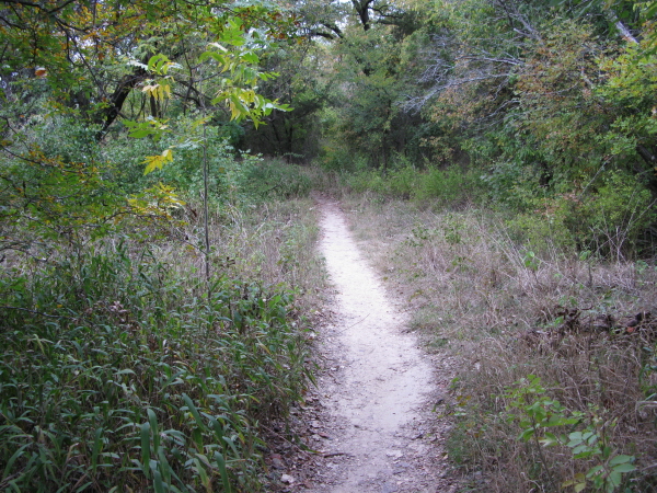
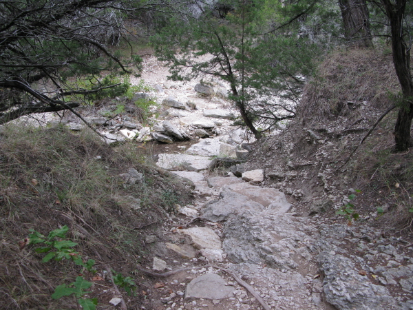
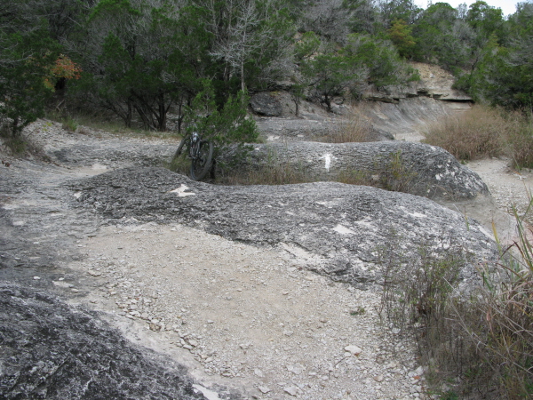
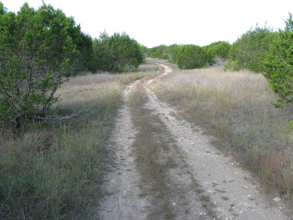
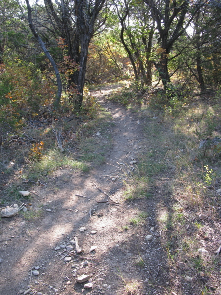
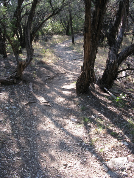
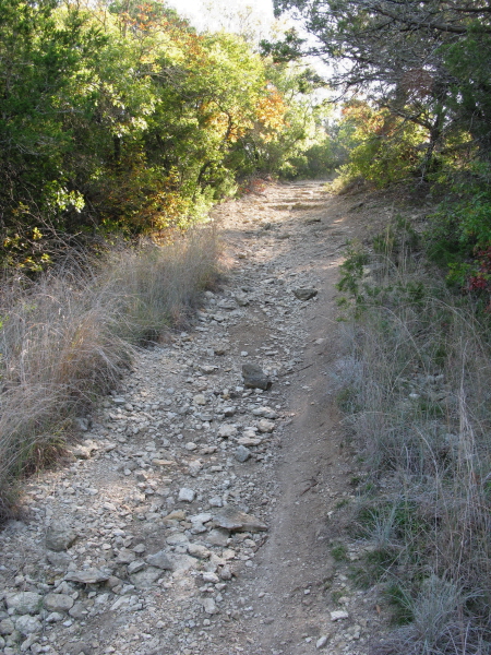
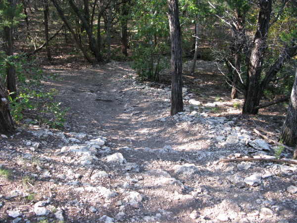
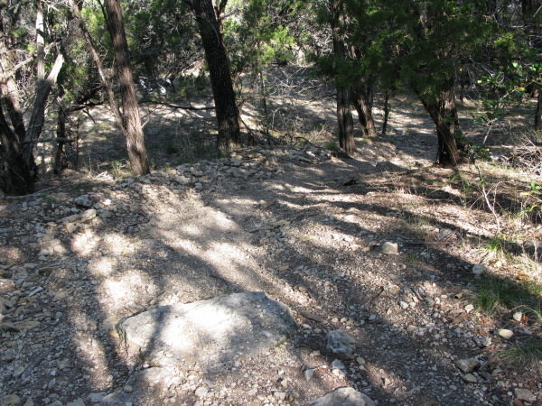
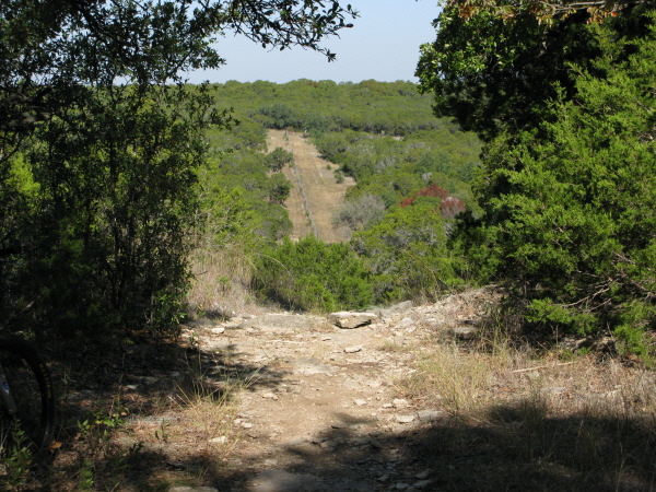
the White trail is made up of decent singletrack with the occasional
‘S’ curve and rock garden, but nothing too overly technical. It’s worth
noting that the reason I chose to go counterclockwise on the White trail
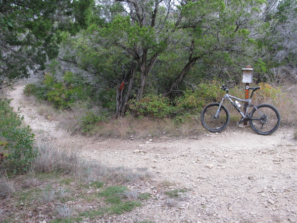
is that from marker D and marker C to marker E is a long, steep, rocky
climb. Going counterclockwise on White makes either of them a long,
rocky descent.
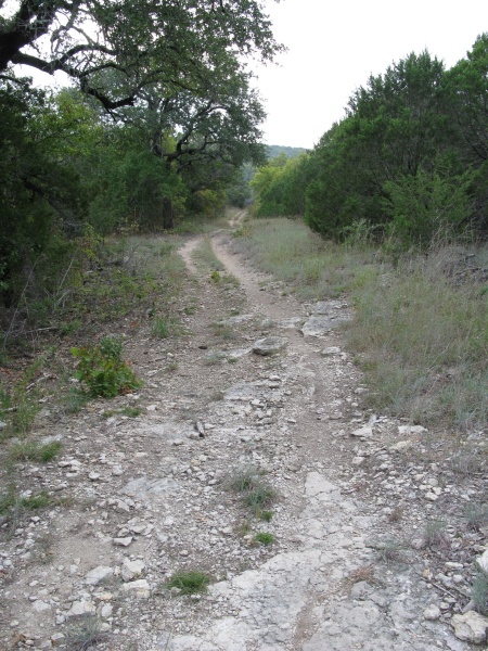
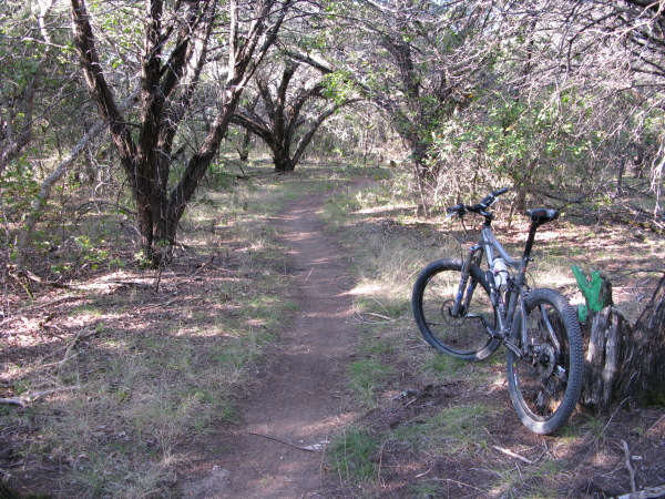
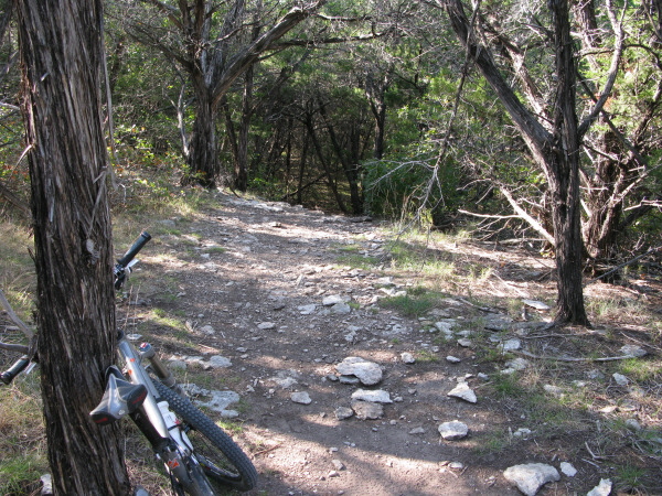
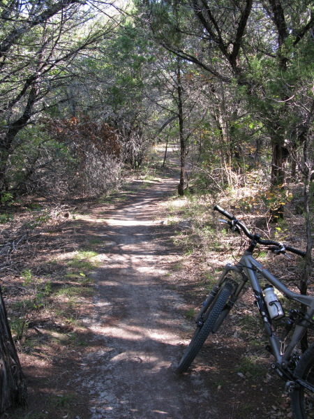
The Blue and Yellow trails make up the inner, connecting trails and amount
to nothing more than riding along a wide path with a little doubletrack
thrown in. In and of themselves they aren’t all that thrilling, but
do add many more miles to the day’s trip and get you to a couple of
the primitive camp sites.
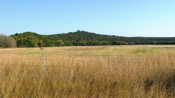
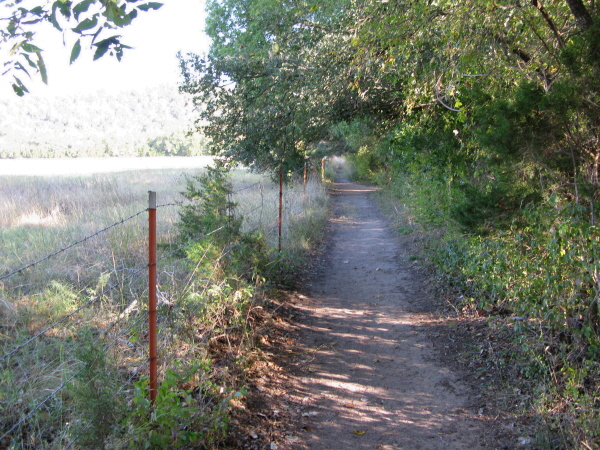
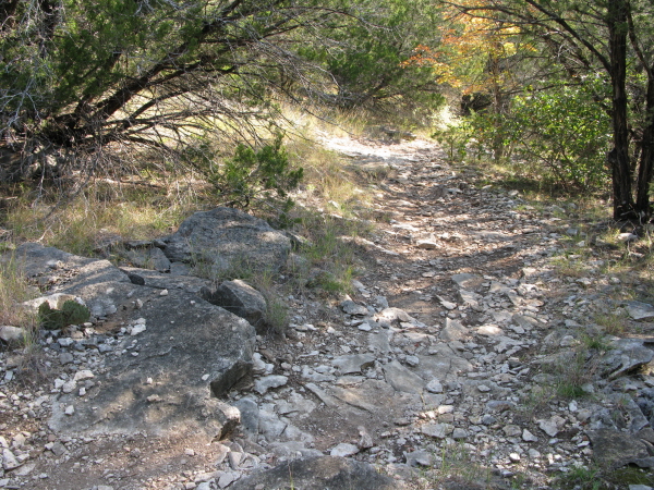
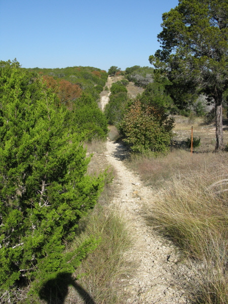
The Orange trail is >95% doubletrack. Where it intersects the Green trail
is way off the map, but if you ride it to that point take a right on
to the Green trail. This half of the Green trail is essentially an out
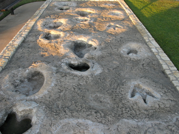
and back that leads to Dinosaur track site #2 which makes for a nice
relaxing break. This particular section of the Green trail is mostly
doubletrack and wide path, and although it features some enjoyable descending
on the way to the dinosaur tracks, you have to come back up on the return
trip. Don’t worry, the climbs don’t seem that bad and before you know
it, you’re back at the Orange/Green intersection. At this point continue
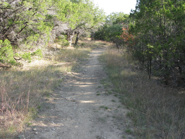
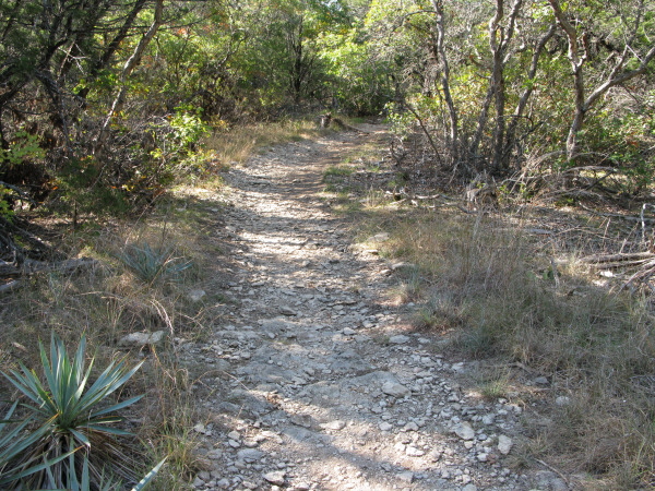
along the Green trail and prepare for the best section of trail that
Dinosaur Valley has to offer. Winding singletrack, rock gardens that
aren’t overly technical so as to still be a blast to negotiate, and
well packed trail are the key features of this half of the Green trail.
Similar to the White trail, it’s hard to really say which direction
is ideal as both have their share of climbs and descents.
Although Dinosaur Valley lacks much of the singletrack thrills that other
nearby locations can provide, such as Cleburne State Park, there’s no
doubt that it’s a nice ride that is even better as a group or family
ride. On top of that, how much more humbling can a place be than Dinosaur
Valley State Park? After-all, the very knobs on your tires will be rolling
where freakin’ dinosaurs used to walk!
~ MountainBikeTx.com(Nov 2008)