MountainBikeTx.com
Big Cedar Wilderness Trails
Dallas, TX
Click here for help on how to read this trail guide
Directions:
Length:
Technical Level:
Trail Type:
Configuration:
Trail Map(s):
Fee:
Trails:
Amenities:
Links:
Contact:
Comments:
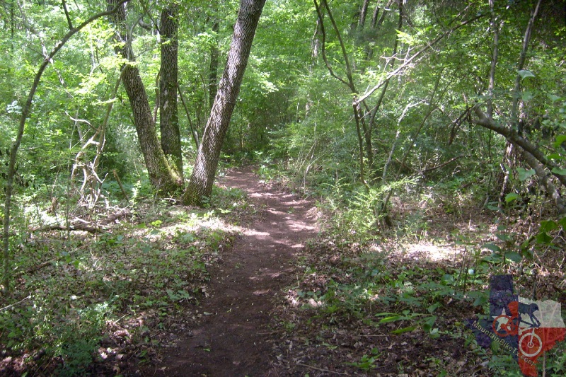
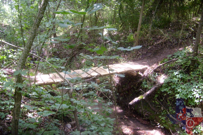
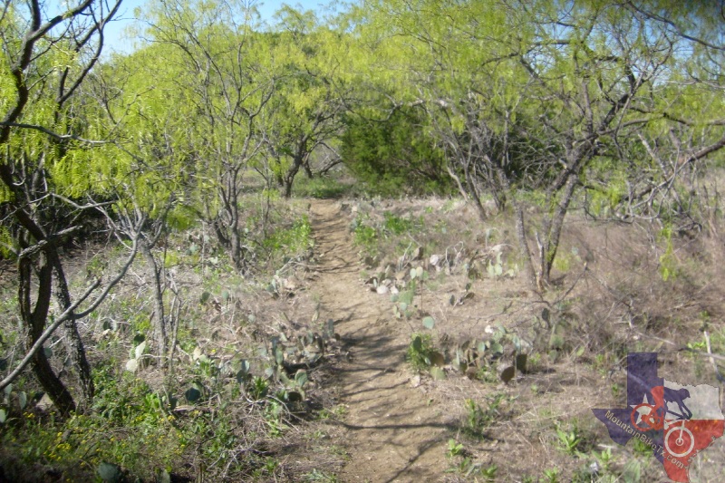
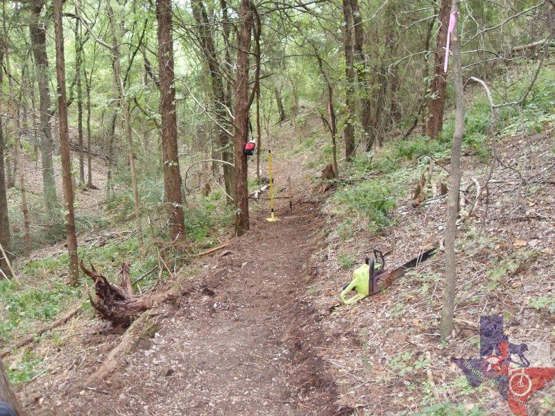
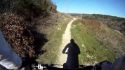
Photos:
Video:
Trail Review:
28 miles
3
singletrack; ranch road
loops
none
n/a
• Restrooms
• Picnic Areas
• Grills
• Playgrounds
• Observation Decks
• Fishing Pond (catch and release only)
• Camping (by permission only)
• Water
Waiver (Adult) |
Waiver (Adult Half) |
Waiver (Minor) |
Waiver (Minor Half)
Mountain Creek Community Church
(972) 296-8919 - Ray Luedecke (Trail Steward)
• All riders MUST
have a waiver form on file. Form is available above and at the trailhead.
Waivers are only good for the current calendar year.
• Helmets are REQUIRED!
• DO NOT park in the church lot. Stay in the
back gravel area around the transformer station.
• Currently features 3 Downhill runs and a section suitable for Trials.
• Plans include a Freeride section, Pump track, and Skills area.
So, when you hear the
words "Best Trail in DFW", you might tend to perk up and listen. Chances
are they are referring to BCWT.
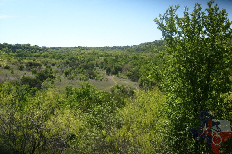
Big Cedar Wilderness Trail is one of the best trails I`ve ridden in 14 years
of riding mountain bikes. The terrain varies from smooth, rolling singletrack
to a full on Downhill area that is separate from the XC course. There
is also a trials area and dirt jump section if you so desire. And bring
your climbing legs for the XC course. The descents are long, but make
no mistake...you earn them with some of the most grueling climbs you`ll
find anywhere in Texas.
The XC section consists of multiple loops off of one main loop. The main
loop (called the White Loop or the Ranger Loop) can be ridden by itself,
and there is even a short one mile beginner loop as part of the White.
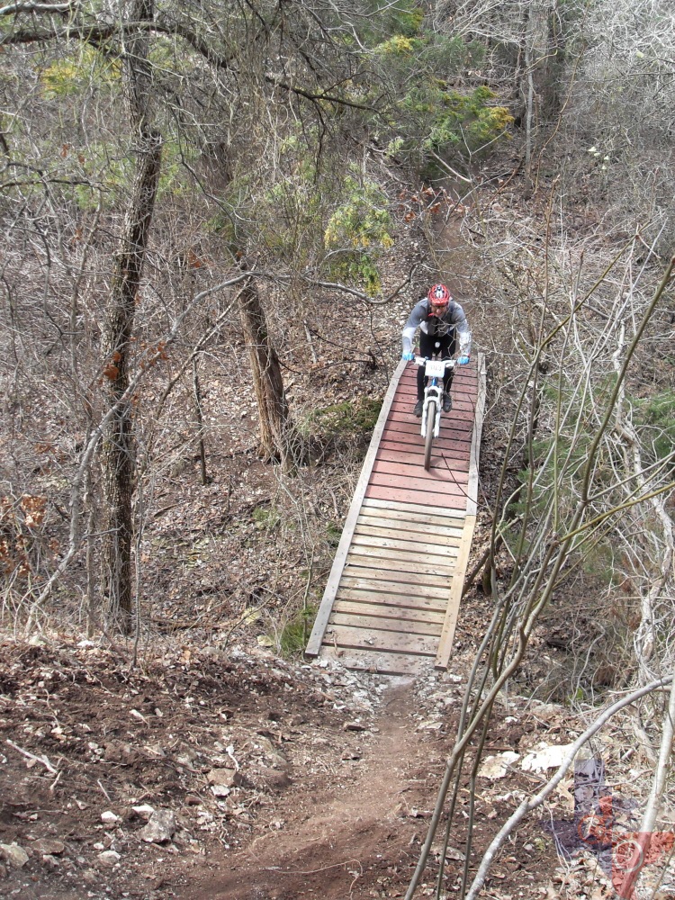
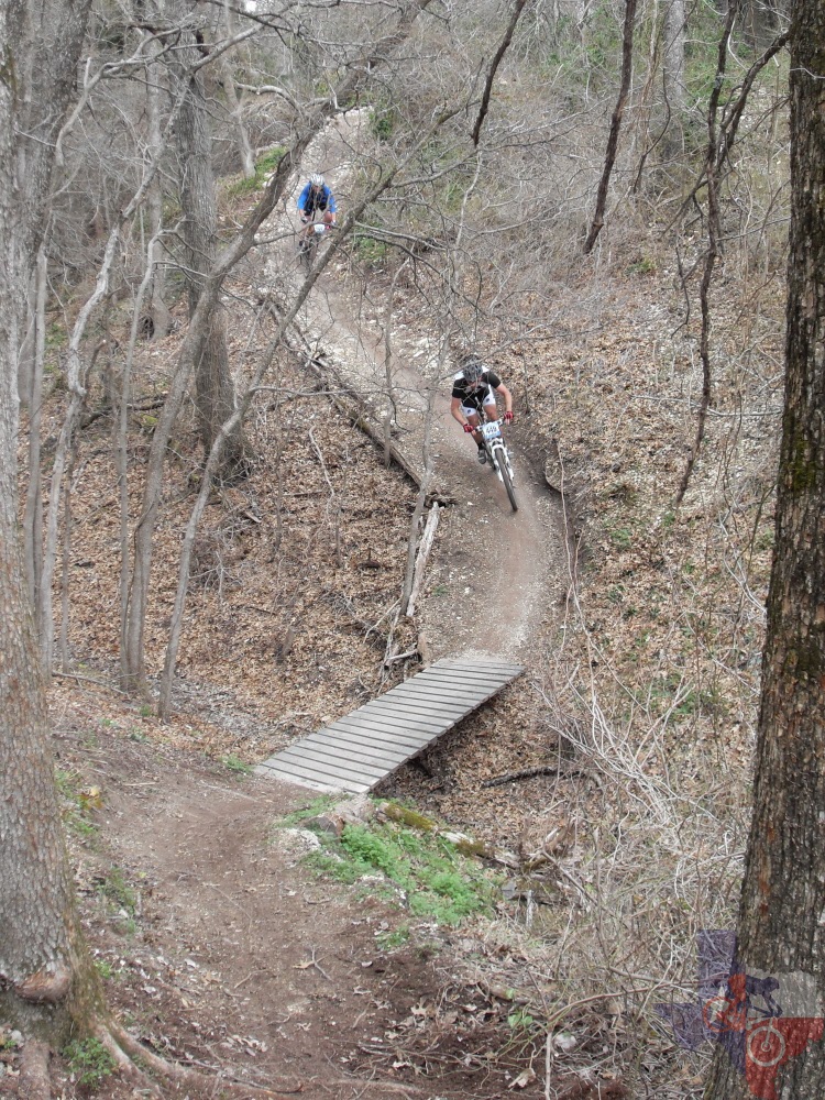
You’ll wind your way from the trailhead through some sweet singletrack
and a creek crossing or two. The trail opens up to a jeep road descent
that gives the speed junkies plenty of room to pedal the big ring. I`ve
seen close to 30 mph on this section, but if you`re not up for that
kind of speed it`s not technical at all and you can coast along at whatever
speed you`re comfortable with. The trail cuts back toward the trailhead
with the final short descent. At this point you`ve had a good time and
are enjoying yourself. Remember that sensation and hold it dear. As
you work your way back up the hill you start to realize how far you
came down. A couple of decent climbs let you know there`s a price for
the fun you had. Then, while your legs are burning and your lungs are
ready to pop, you round a turn and bear witness to the steepest climb
you`re likely to ever see in Texas. Roughly 30 yards, and the Garmin
says 45% grade. Thankfully, that`s the last of the real torture...on
that loop. The rest of the trail is just as epic.
The first off-shoot you come to is the Green Loop. Fun and very windy, not
much elevation but a few technical, short climbs.
Yellow (Copperhead Ridge) is next. VERY fun and riddled with dips and banked
turns, along with some off-camber stuff. Kinda’ like riding a roller
coaster. Climbs are moderate to technical.
The Orange Loop (observation section) comes next. The climb up is the most
vertical feet of climbing BCWT has to offer. A long, tedious, technical
climb gets you up to the observatory, where you can chill out and recover
before getting back on and pointing yourself downhill through some very
fun technical singletrack.
The next loop is called "Path Down Under", and is probably the most scenic
route in the area. Challenging terrain with two fierce climbs end the
loop this loop and you`re back on the White loop for a little while
before hitting the next one.
SOS/Sting of the Scorpion/Red Loop: The second dedicated downhill run is
right off the start of this loop, but is not part of the loop itself
(e.g.,, you don`t have to do the DH run to ride this loop). This is
a very technical loop; steep descents, sharp turns, and a very sweet,
long descent to the bottom of the valley. Another chance to hit close
to 30 mph if you dare! At the bottom of the long descent the trail makes
a sharp u-turn and points up the ridge under the power lines; a tedious
climb, but not technical at all. After winding through some brush you`ll
find yourself at the bottom of one of the DH runs. It`s well signed
so you don`t go the wrong way. From here you have a very challenging
series of about 8 uphill switchbacks, back to back, and a nice recovery
segment at the top, followed by a fun but very narrow descent into a
creek crossing with a short but steep exit climb. Once you`re up that
bit it`s home free with smooth, fast, rolling singletrack leading back
to the trailhead.
A new loop has also been cut that`s not off of the White (Ranger) loop, but
it does start at the trailhead. It`s the Blue/Texas Sunset Loop. About
1.5 miles, fast, technical, fun descent to...you guessed it: a long
climb out. Not very steep, nor technical, but it goes on and on…and
on…and on (get the picture?).
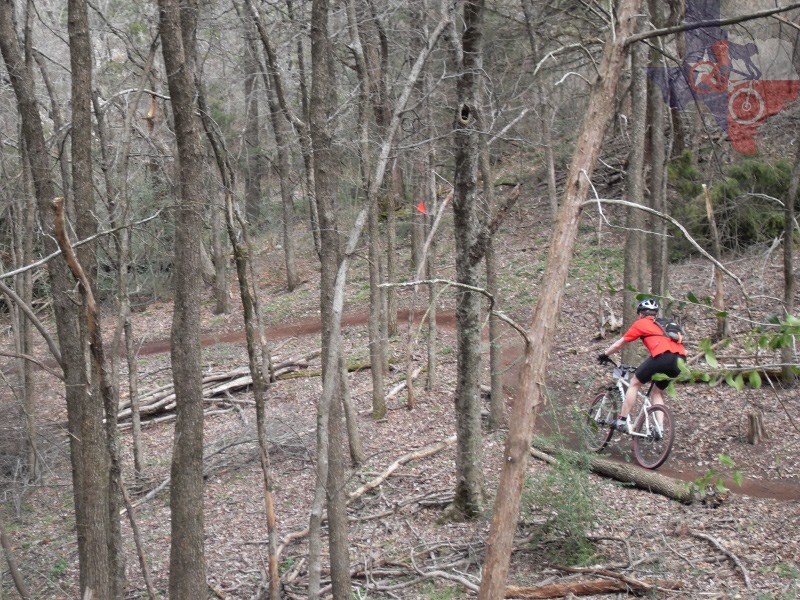
All of BCWT’s trails are marked very, very well. Every intersection has a
sign telling you where you are, what to expect, and how to avoid it
if you`re not up for it. There are several bypasses that may be shorter
routes, but not necessarily easier ones. There are a few spots that
will sneak up on you your first time around, so if you want to go fast
right out the gate ride with someone who knows the trail. For every
wicked climb there is the reward of a matching downhill for the gravity
driven adrenalin junkies (that`s me). If you respect the terrain this
could easily become your favorite trail. I know it did for me!
~ JeffB (Aug 2010)