MountainBikeTx.com
San Angelo State Park
San Angelo, TX
Click here for help on how to read this trail guide
Location:
Length:
Technical Level:
Trail Type:
Configuration:
Trail Map(s):
Fee:
Trails:
Amenities:
Links:
Contact:
Comments:
Trail Review:
Photos:
Video:
50+ miles
1-3
singletrack; doubletrack; jeep trail
network
SABA (North) | SABA (South) | TPWD
$3 per person 13 and older/day use (annual pass available for $70)
n/a
• Campsites with water and electricity
• Walk-in campsites
• Group camping areas
• Restrooms (with showers)
• Potable water
• Enclosed air-conditioned and heated mini-cabins
• Boat ramps
• Trailer dump station
(325) 949-8935 - Gatehouse/Reservation
Info
(325) 949-4757 - HQ
Click here to send an email
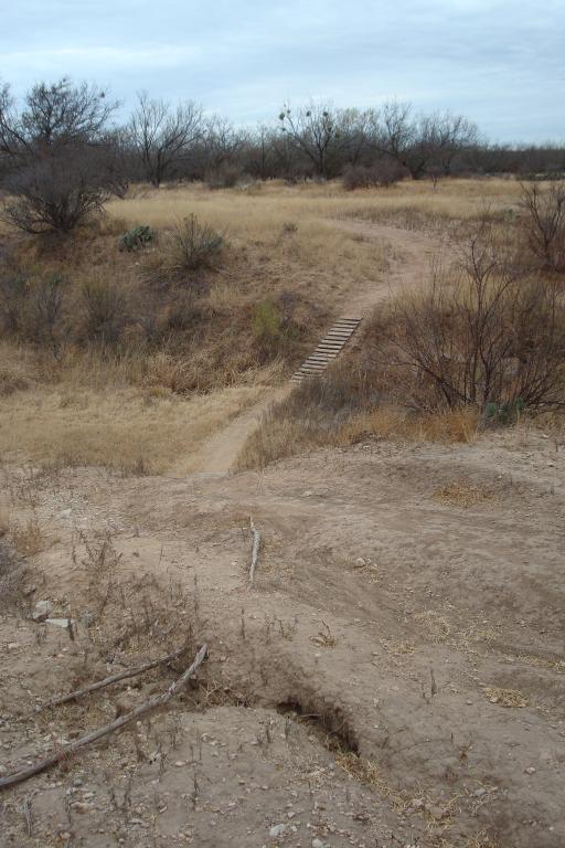
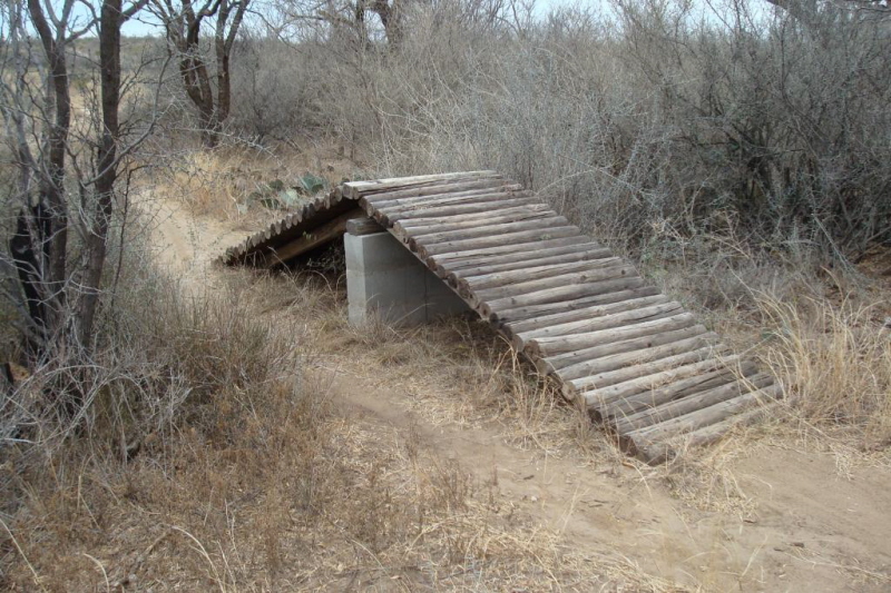
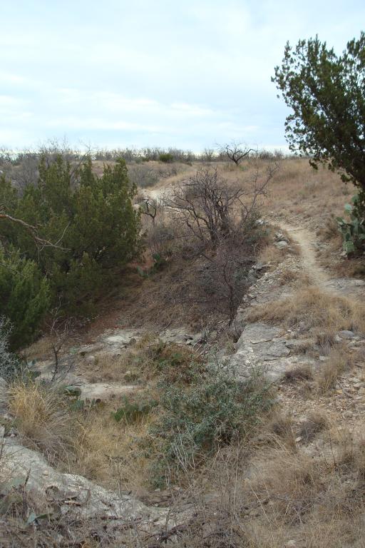
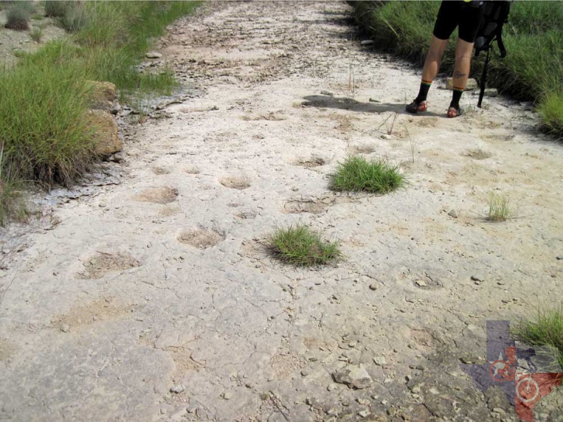
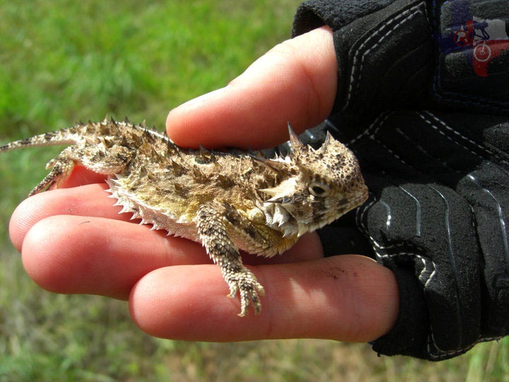
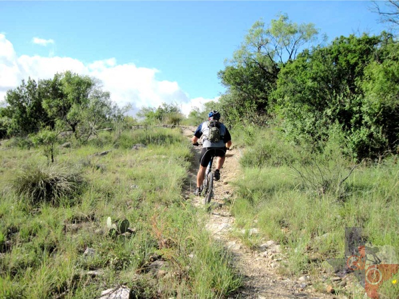
San Angelo State Park has more than 60 miles of trails
near the Concho River that wind through streambeds, over hills, along
cliff faces and down exhilarating descents. ~TPWD
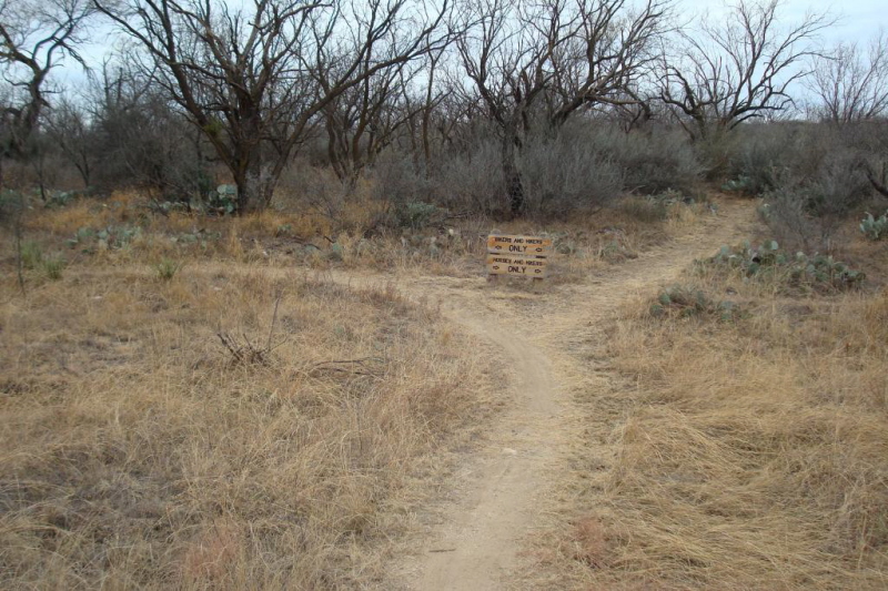
• There are two entrances to the State Park, North and South. The North
Entrance will give you access to the longer cross country trails which
generally head south. The South Entrance gives you access to the same
trail system, plus many other loops ranging in difficulty from 1 to
3.
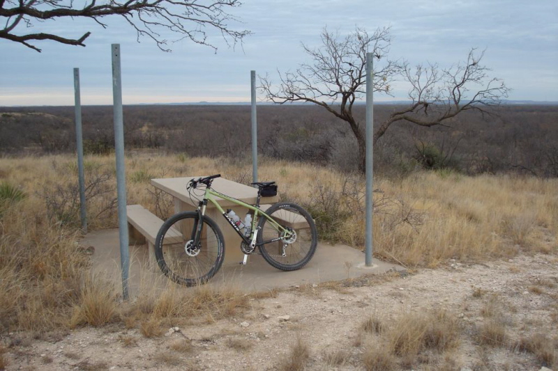
San Angelo State Park
is one of my favorite places to ride in Texas. It is about a 5 hour
drive from Dallas, and worth the dashboard time to ride the trail system
there.
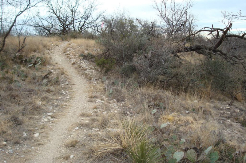
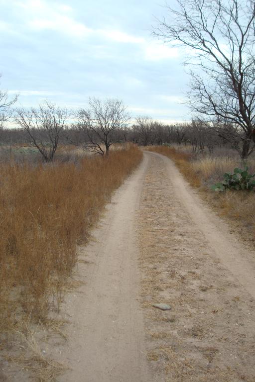
Dallas has some wonderful trails. But for the most part they are 6-12 miles
long. With winding singletrack in lake side or flood plain areas. This
is a lot of fun, but it does not have the feel of an "Epic" ride. That
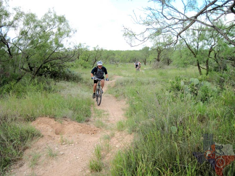
is what San Angelo State Park (SASP) gives in my opinion. There you
can ride true cross country on long ranging single track.
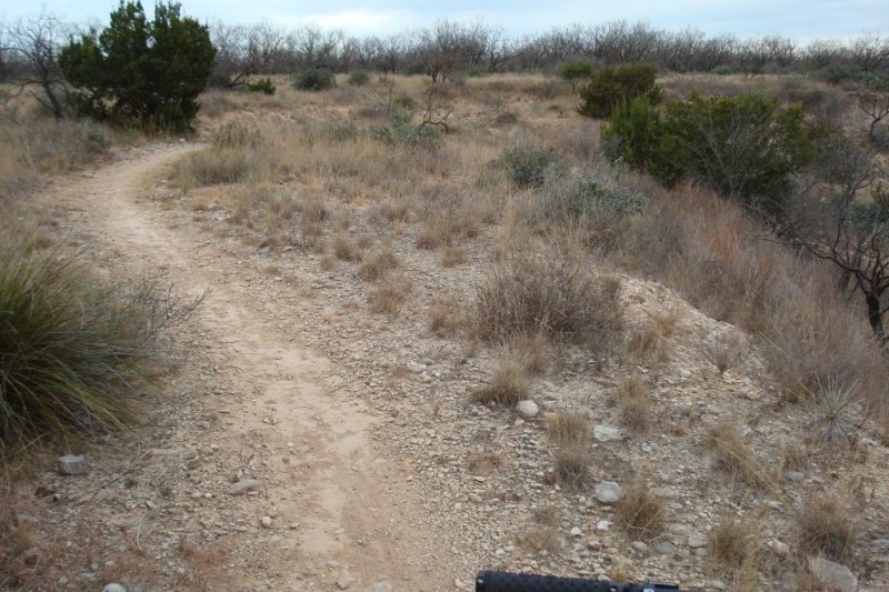
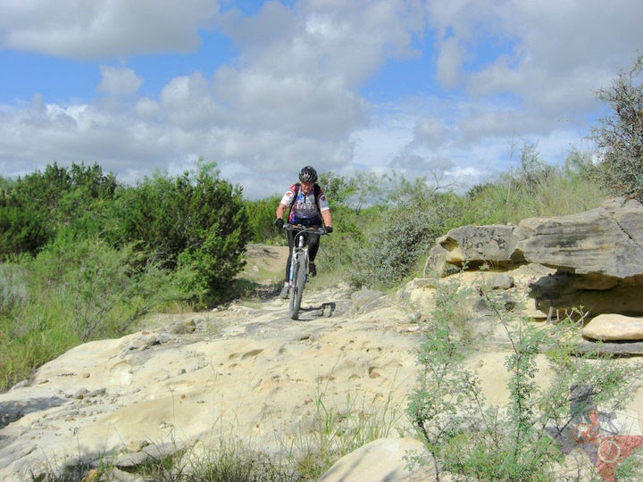
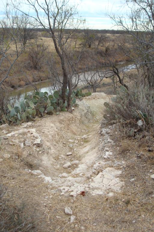
Overall, I would not call the trails out there difficult. There are many
areas which can challenge a seasoned rider.
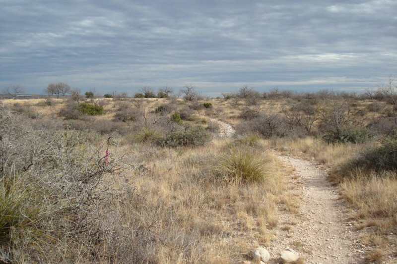
But be careful not to compare this trail system to the shorter engineered
technical tracks. SASP is not that. SASP is a place to go where you
want to ride for hours. It gives the opportunity for more of a marathon
style XC ride. Unlike some places where to ride those distances you
just end up making laps to log in those miles.
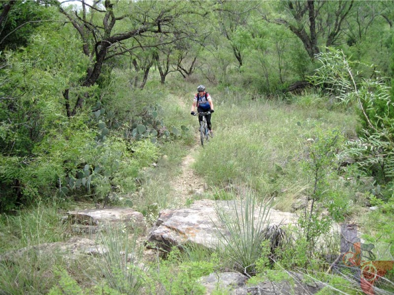
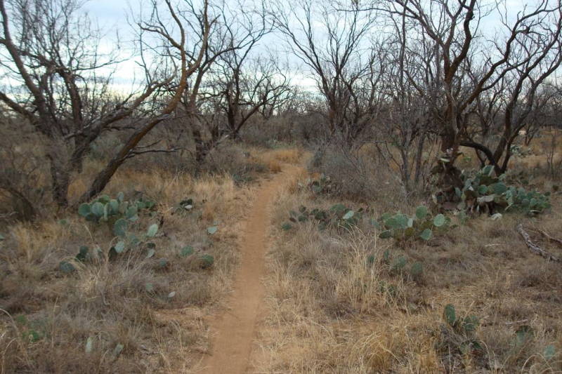
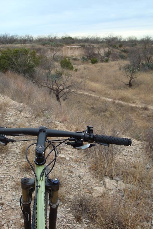
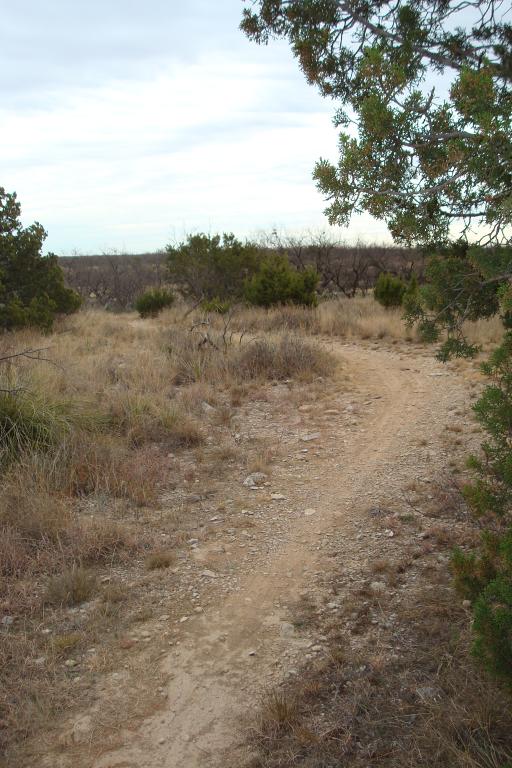
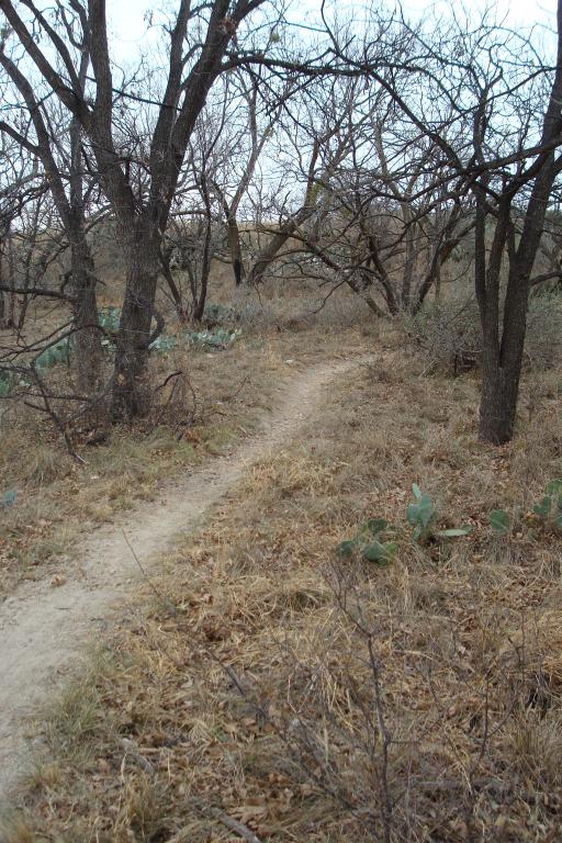
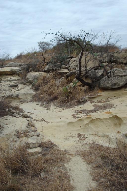
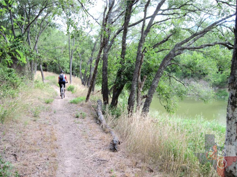
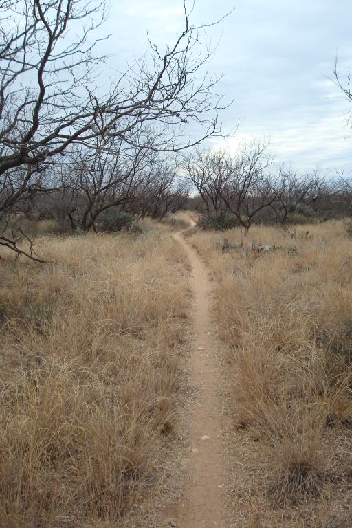
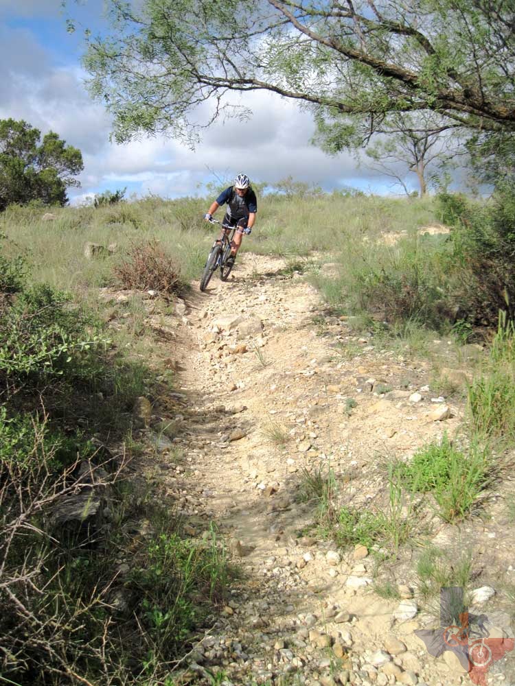
What I like best about this trail system is it mixes some loose rocky
technical climbs and descents with some gentile winding wooded singletrack
that allows you to put in a few miles in your third chainring.
~ Thed 1 Jan 2009
Click here for all of Thed's San Angelo State Park photos
unavailable